Magatos night lights from space
Night Light of Magatos (Davao) from space (Philippines) Src. Average luminocity for 10x10km area is 1.5563% and for 50x50km: 1.949%.
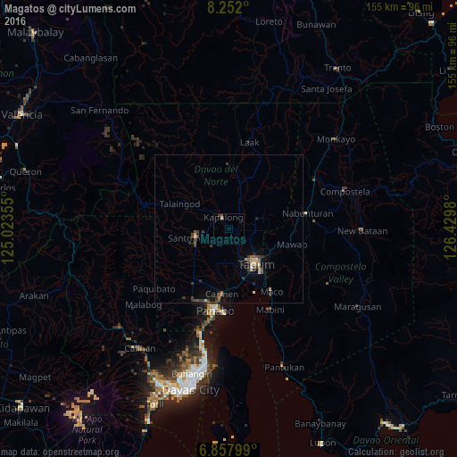
Analysis of Magatos night lights 2016
Square area 10x10 km:
 0%
0%90-99
0%80-89
0.43%70-79
0.43%60-69
0%50-59
0.22%40-49
0.87%30-39
0.65%20-29
0%10-19
0%0-9
97.4%Square area 50x50 km:
0.05%90-99
0.18%80-89
0.23%70-79
0.26%60-69
0.16%50-59
0.35%40-49
0.49%30-39
0.62%20-29
0.48%10-19
0.83%0-9
96.36%Clear (daylight) street map image can be seen on geolist.org.
Map coordinates:
8° 15' 7.2" North, 125° 1' 24.8" East
7° 33' 20" North, 125° 43' 36" East
6° 51' 28.8" North, 126° 25' 47.3" East
Some cities around Magatos sort by population:
• Magugpo Poblacion
14.8 km =9.2 mi,  144°
144°
• New Corella
11.2 km =7 mi,  72°
72°
• Cabayangan
16.5 km =10.3 mi,  177°
177°
• New Visayas
11.9 km =7.4 mi,  252°
252°
• Cambanugoy
3.5 km =2.2 mi,  116°
116°
• Santo Niño
13.5 km =8.4 mi,  304°
304°
• Sampao
8.4 km =5.2 mi, 300°
• La Libertad
12.1 km =7.5 mi,  226°
226°
1703964 (p: 5,770)
Sources (retrieved 2019-11-25):
» Earth at Night: Flat Maps 2012, 2016