Pagsanghan night lights from space
Night Light of Pagsanghan (Eastern Visayas) from space (Philippines) Src. Average luminocity for 10x10km area is 0% and for 50x50km: 0.3741%.
Analysis of Pagsanghan night lights 2016
Square area 10x10 km:
 0%
0%90-99
0%80-89
0%70-79
0%60-69
0%50-59
0%40-49
0%30-39
0%20-29
0%10-19
0%0-9
100%Square area 50x50 km:
0.02%90-99
0.02%80-89
0.11%70-79
0.06%60-69
0.03%50-59
0.06%40-49
0.04%30-39
0.13%20-29
0.1%10-19
0.04%0-9
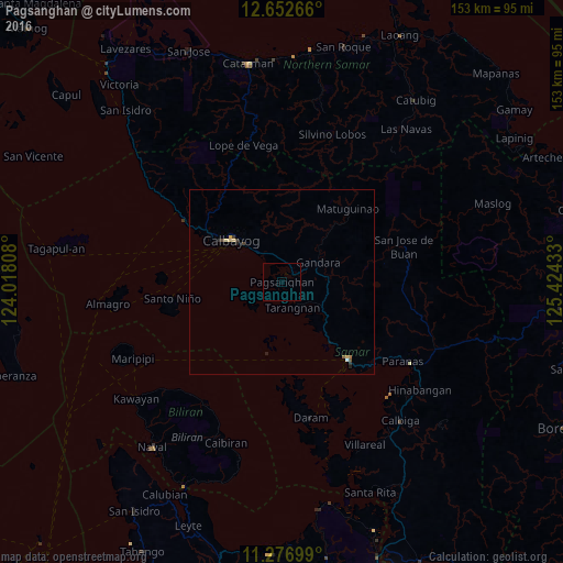
99.39%Clear (daylight) street map image can be seen on geolist.org.
Map coordinates:
12° 39' 9.6" North, 124° 1' 5.1" East
11° 57' 56.5" North, 124° 43' 16.3" East
11° 16' 37.2" North, 125° 25' 27.6" East
Some cities around Pagsanghan sort by population:
• Catbalogan
27.8 km =17.3 mi,  139°
139°
• Calbayog City
17.6 km =10.9 mi,  309°
309°
• Catarman
60 km =37.3 mi,  351°
351°
• Naval
57.2 km =35.5 mi,  218°
218°
• Caibiran
46.4 km =28.8 mi,  199°
199°
• Culaba
39.4 km =24.5 mi,  209°
209°
• San Policarpio
20.1 km =12.5 mi,  304°
304°
• Mondragon
61.2 km =38 mi,  3°
3°
1696512 (p: 8,024)
Sources (retrieved 2019-11-25):
» Earth at Night: Flat Maps 2012, 2016