Caibiran night lights from space
Night Light of Caibiran (Eastern Visayas) from space (Philippines) Src. Average luminocity for 10x10km area is 0% and for 50x50km: 0.1022%.
Analysis of Caibiran night lights 2016
Square area 10x10 km:
 0%
0%90-99
0%80-89
0%70-79
0%60-69
0%50-59
0%40-49
0%30-39
0%20-29
0%10-19
0%0-9
100%Square area 50x50 km:
0%90-99
0%80-89
0%70-79
0%60-69
0.07%50-59
0%40-49
0.03%30-39
0.04%20-29
0.05%10-19
0.05%0-9
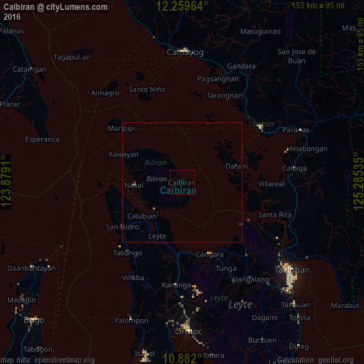
99.77%Clear (daylight) street map image can be seen on geolist.org.
Map coordinates:
12° 15' 34.7" North, 123° 52' 44.8" East
11° 34' 18" North, 124° 34' 56" East
10° 52' 55.2" North, 125° 17' 7.3" East
Some cities around Caibiran sort by population:
• Carigara
32.2 km =20 mi,  160°
160°
• Naval
20.2 km =12.6 mi,  266°
266°
• Capoocan
31.6 km =19.6 mi,  168°
168°
• Leyte
25.2 km =15.7 mi,  205°
205°
• Barugo
32.4 km =20.1 mi,  148°
148°
• Babatngon
33 km =20.5 mi,  119°
119°
• Culaba
10.5 km =6.5 mi,  335°
335°
• Kampokpok
36.2 km =22.5 mi, 212°
1720871 (p: 6,462)
Sources (retrieved 2019-11-25):
» Earth at Night: Flat Maps 2012, 2016