Calubcub Dos night lights from space
Night Light of Calubcub Dos (Calabarzon) from space (Philippines) Src. Average luminocity for 10x10km area is 0.126% and for 50x50km: 2.8025%.
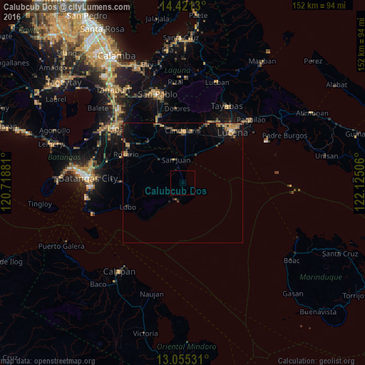
Analysis of Calubcub Dos night lights 2016
Square area 10x10 km:
 0%
0%90-99
0%80-89
0%70-79
0%60-69
0%50-59
0%40-49
0%30-39
0%20-29
0.41%10-19
0%0-9
99.59%Square area 50x50 km:
0.04%90-99
0.02%80-89
0.2%70-79
1%60-69
0.51%50-59
0.35%40-49
0.58%30-39
0.77%20-29
0.45%10-19
1.92%0-9
94.16%Clear (daylight) street map image can be seen on geolist.org.
Map coordinates:
14° 25' 16.7" North, 120° 43' 7.7" East
13° 44' 21.5" North, 121° 25' 18.9" East
13° 3' 19.1" North, 122° 7' 30.2" East
Some cities around Calubcub Dos sort by population:
• Concepcion Ibaba
20.9 km =13 mi,  11°
11°
• Bignay Uno
15.6 km =9.7 mi,  27°
27°
• Castañas
20.7 km =12.9 mi,  43°
43°
• Laiya
6.9 km =4.3 mi,  199°
199°
• Santa Catalina Sur
15 km =9.3 mi,  3°
3°
• Guisguis
18.3 km =11.4 mi, 34°
• Santa Catalina Norte
16.2 km =10.1 mi,  334°
334°
• Janagdong
20.7 km =12.9 mi, 28°
1720109 (p: 5,019)
Sources (retrieved 2019-11-25):
» Earth at Night: Flat Maps 2012, 2016