Kauit night lights from space
Night Light of Kauit (Central Visayas) from space (Philippines) Src. Average luminocity for 10x10km area is 0.632% and for 50x50km: 0.6533%.
Analysis of Kauit night lights 2016
Square area 10x10 km:
 0%
0%90-99
0%80-89
0%70-79
0%60-69
0%50-59
0%40-49
0.87%30-39
0.43%20-29
0%10-19
0%0-9
98.7%Square area 50x50 km:
0%90-99
0.02%80-89
0.06%70-79
0.12%60-69
0.03%50-59
0.1%40-49
0.26%30-39
0.34%20-29
0.31%10-19
0.16%0-9
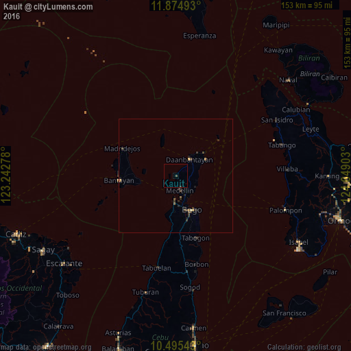
98.61%Clear (daylight) street map image can be seen on geolist.org.
Map coordinates:
11° 52' 29.7" North, 123° 14' 34" East
11° 11' 9.6" North, 123° 56' 45.2" East
10° 29' 43.5" North, 124° 38' 56.5" East
Some cities around Kauit sort by population:
• Bogo
16.3 km =10.1 mi,  156°
156°
• Daanbantayan
10.1 km =6.3 mi,  47°
47°
• Medellin
6.6 km =4.1 mi, 164°
• Tapilon
13.7 km =8.5 mi,  42°
42°
• Maya
15.5 km =9.6 mi, 50°
• Cayang
13.9 km =8.6 mi, 162°
• Anonang
22.8 km =14.2 mi, 155°
• Nailong
17.8 km =11.1 mi,  145°
145°
1717592 (p: 5,771)
Sources (retrieved 2019-11-25):
» Earth at Night: Flat Maps 2012, 2016