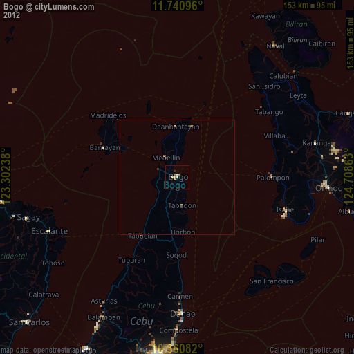
Bogo night lights from space
Night Light of Bogo (Central Visayas) from space (Philippines) Src. Average luminocity for 10x10km area is 6.513% and for 50x50km: 0.5794%.
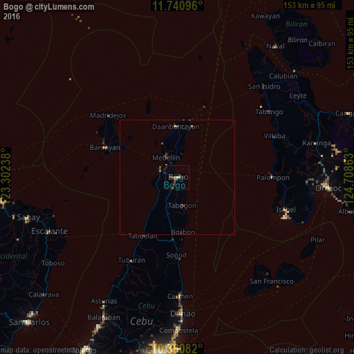
Analysis of Bogo night lights 2016
Square area 10x10 km:
 0%
0%90-99
0.43%80-89
1.08%70-79
0.43%60-69
0.65%50-59
0%40-49
3.25%30-39
3.46%20-29
2.38%10-19
1.73%0-9
86.58%Square area 50x50 km:
0%90-99
0.02%80-89
0.06%70-79
0.07%60-69
0.03%50-59
0.1%40-49
0.21%30-39
0.29%20-29
0.37%10-19
0.15%0-9
98.71%Clear (daylight) street map image can be seen on geolist.org.
Map coordinates:
11° 44' 27.5" North, 123° 18' 8.6" East
11° 3' 6.1" North, 124° 0' 19.8" East
10° 21' 39" North, 124° 42' 31.1" East
Some cities around Bogo sort by population:
• Daanbantayan
21.7 km =13.5 mi,  2°
2°
• Medellin
9.8 km =6.1 mi,  331°
331°
• Tapilon
25.2 km =15.7 mi,  6°
6°
• Maya
25.4 km =15.8 mi, 12°
• Cayang
2.9 km =1.8 mi,  304°
304°
• Kauit
16.3 km =10.1 mi,  336°
336°
• Anonang
6.5 km =4 mi,  152°
152°
• Nailong
3.6 km =2.2 mi,  86°
86°
1724435 (p: 23,562)
Sources (retrieved 2019-11-25):
» Earth at Night: Flat Maps 2012, 2016