Baganga night lights from space
Night Light of Baganga (Davao) from space (Philippines) Src. Average luminocity for 10x10km area is 0.1948% and for 50x50km: 0.0601%.
Analysis of Baganga night lights 2016
Square area 10x10 km:
 0%
0%90-99
0%80-89
0%70-79
0%60-69
0%50-59
0%40-49
0%30-39
0%20-29
0.87%10-19
0%0-9
99.13%Square area 50x50 km:
0%90-99
0%80-89
0.03%70-79
0%60-69
0.03%50-59
0%40-49
0%30-39
0%20-29
0.03%10-19
0%0-9
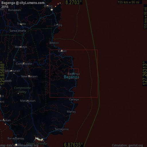
99.9%Clear (daylight) street map image can be seen on geolist.org.
Map coordinates:
8° 16' 13.1" North, 125° 51' 24.8" East
7° 34' 26" North, 126° 33' 36" East
6° 52' 34.9" North, 127° 15' 47.3" East
Some cities around Baganga sort by population:
• Compostela
53.1 km =33 mi,  281°
281°
• Manay
40 km =24.9 mi,  183°
183°
• Cabinuangan
59.3 km =36.8 mi, 281°
• Taytayan
18.9 km =11.7 mi,  340°
340°
• Cateel
26.9 km =16.7 mi,  334°
334°
• Lingig
54.2 km =33.7 mi, 342°
• San Ignacio
51.2 km =31.8 mi,  188°
188°
• Kinablangan
13.3 km =8.3 mi,  354°
354°
1729181 (p: 10,106)
Sources (retrieved 2019-11-25):
» Earth at Night: Flat Maps 2012, 2016