Cateel night lights from space
Night Light of Cateel (Davao) from space (Philippines) Src. Average luminocity for 10x10km area is 1.3017% and for 50x50km: 0.0606%.
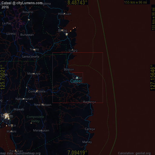
Analysis of Cateel night lights 2016
Square area 10x10 km:
 0%
0%90-99
0%80-89
0.83%70-79
0%60-69
0.83%50-59
0%40-49
0%30-39
0%20-29
0%10-19
0%0-9
98.35%Square area 50x50 km:
0%90-99
0%80-89
0.03%70-79
0%60-69
0.03%50-59
0%40-49
0%30-39
0%20-29
0.03%10-19
0%0-9
99.9%Clear (daylight) street map image can be seen on geolist.org.
Map coordinates:
8° 29' 14.7" North, 125° 45' 0.8" East
7° 47' 29" North, 126° 27' 12" East
7° 5' 39.1" North, 127° 9' 23.3" East
Some cities around Cateel sort by population:
• Monkayo
44 km =27.3 mi,  273°
273°
• Compostela
42.3 km =26.3 mi,  251°
251°
• Cabinuangan
47.8 km =29.7 mi,  255°
255°
• Baganga
26.9 km =16.7 mi,  154°
154°
• Taytayan
8.3 km =5.2 mi,  140°
140°
• Lingig
27.9 km =17.3 mi,  350°
350°
• Salvacion
43 km =26.7 mi,  302°
302°
• Kinablangan
15.2 km =9.4 mi, 136°
1717896 (p: 6,624)
Sources (retrieved 2019-11-25):
» Earth at Night: Flat Maps 2012, 2016