Cabinuangan night lights from space
Night Light of Cabinuangan (Davao) from space (Philippines) Src. Average luminocity for 10x10km area is 0.5% and for 50x50km: 0.3634%.
Analysis of Cabinuangan night lights 2016
Square area 10x10 km:
 0%
0%90-99
0%80-89
0%70-79
0%60-69
0%50-59
0%40-49
0.83%30-39
0%20-29
0%10-19
0.83%0-9
98.35%Square area 50x50 km:
0%90-99
0.02%80-89
0.03%70-79
0.02%60-69
0%50-59
0.13%40-49
0.19%30-39
0.16%20-29
0.12%10-19
0.05%0-9
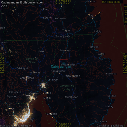
99.29%Clear (daylight) street map image can be seen on geolist.org.
Map coordinates:
8° 22' 46.4" North, 125° 19' 48.8" East
7° 40' 60" North, 126° 1' 60" East
6° 59' 9.5" North, 126° 44' 11.3" East
Some cities around Cabinuangan sort by population:
• Monkayo
14.9 km =9.3 mi,  9°
9°
• Compostela
6.2 km =3.9 mi,  100°
100°
• New Corella
25.5 km =15.8 mi,  245°
245°
• San Mariano
20.7 km =12.9 mi,  190°
190°
• Nabunturan
11.2 km =7 mi,  221°
221°
• Cambanugoy
34.5 km =21.4 mi,  242°
242°
• Montevista
5 km =3.1 mi,  282°
282°
• Manat
16.8 km =10.4 mi, 186°
1721580 (p: 10,776)
Sources (retrieved 2019-11-25):
» Earth at Night: Flat Maps 2012, 2016