Manay night lights from space
Night Light of Manay (Davao) from space (Philippines) Src. Average luminocity for 10x10km area is 0% and for 50x50km: 0%.
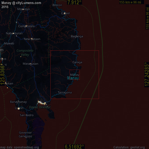
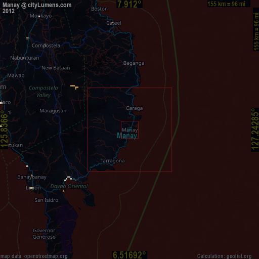
Analysis of Manay night lights 2016
Square area 10x10 km:
 0%
0%90-99
0%80-89
0%70-79
0%60-69
0%50-59
0%40-49
0%30-39
0%20-29
0%10-19
0%0-9
100%Square area 50x50 km:
0%90-99
0%80-89
0%70-79
0%60-69
0%50-59
0%40-49
0%30-39
0%20-29
0%10-19
0%0-9
100%Clear (daylight) street map image can be seen on geolist.org.
Map coordinates:
7° 54' 43.2" North, 125° 50' 11.8" East
7° 12' 54" North, 126° 32' 23" East
6° 31' 0.9" North, 127° 14' 34.3" East
Some cities around Manay sort by population:
• Mati
45.9 km =28.5 mi,  230°
230°
• San Mariano
67.4 km =41.9 mi,  298°
298°
• Baganga
40 km =24.9 mi,  3°
3°
• Batobato
66.3 km =41.2 mi, 229°
• Taytayan
57.8 km =35.9 mi,  355°
355°
• Cateel
64.8 km =40.3 mi,  351°
351°
• San Ignacio
12.1 km =7.5 mi,  207°
207°
• Kinablangan
53.1 km =33 mi, 1°
1702032 (p: 20,336)
Sources (retrieved 2019-11-25):
» Earth at Night: Flat Maps 2012, 2016