Bacolod night lights from space
Night Light of Bacolod (Northern Mindanao) from space (Philippines) Src. Average luminocity for 10x10km area is 4.8079% and for 50x50km: 1.3989%.
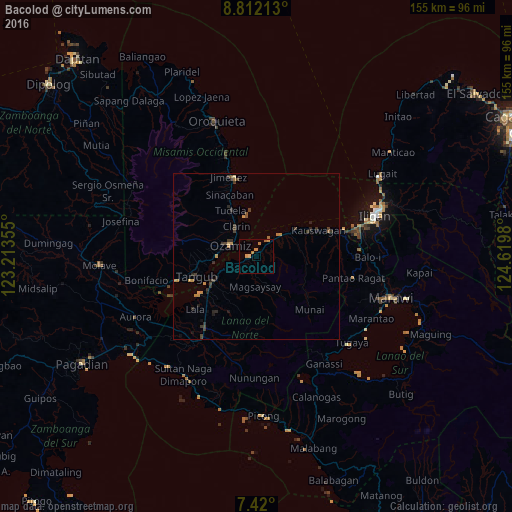
Analysis of Bacolod night lights 2016
Square area 10x10 km:
 0%
0%90-99
0%80-89
0.83%70-79
2.27%60-69
2.07%50-59
0.62%40-49
0%30-39
0%20-29
0%10-19
0%0-9
94.21%Square area 50x50 km:
0%90-99
0%80-89
0.07%70-79
0.46%60-69
0.29%50-59
0.18%40-49
0.3%30-39
0.57%20-29
0.41%10-19
0.26%0-9
97.45%Clear (daylight) street map image can be seen on geolist.org.
Map coordinates:
8° 48' 43.7" North, 123° 12' 48.8" East
8° 7' 0" North, 123° 55' 0" East
7° 25' 12" North, 124° 37' 11.3" East
Some cities around Bacolod sort by population:
• Ozamiz City
9.1 km =5.7 mi,  292°
292°
• Tangub
19.6 km =12.2 mi,  251°
251°
• Tubod
15.5 km =9.6 mi,  243°
243°
• Lala
24.6 km =15.3 mi,  229°
229°
• Maigo
6.8 km =4.2 mi,  42°
42°
• Clarin
11.5 km =7.1 mi,  325°
325°
• Kauswagan
20.3 km =12.6 mi,  65°
65°
• Jimenez
25.9 km =16.1 mi,  340°
340°
1729580 (p: 5,294)
Sources (retrieved 2019-11-25):
» Earth at Night: Flat Maps 2012, 2016