Taiohae night lights from space
Night Light of Taiohae (Îles Marquises) from space (French Polynesia) Src. Average luminocity for 10x10km area is 0% and for 50x50km: 0.0229%.
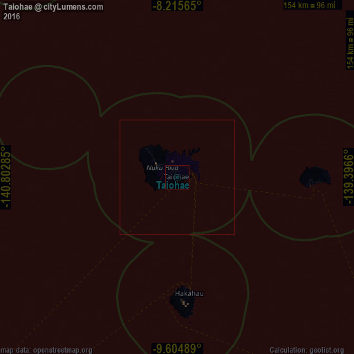
Analysis of Taiohae night lights 2016
Square area 10x10 km:
 0%
0%90-99
0%80-89
0%70-79
0%60-69
0%50-59
0%40-49
0%30-39
0%20-29
0%10-19
0%0-9
100%Square area 50x50 km:
0%90-99
0%80-89
0%70-79
0%60-69
0%50-59
0%40-49
0.02%30-39
0.02%20-29
0.03%10-19
0%0-9
99.93%Clear (daylight) street map image can be seen on geolist.org.
Map coordinates:
8° 12' 56.3" South, 140° 48' 10.3" West
8° 54' 39.3" South, 140° 5' 59" West
9° 36' 17.6" South, 139° 23' 47.8" West
Some cities around Taiohae sort by population:
• Faaa
1406.3 km =873.8 mi,  226°
226°
• Papeete
1402.7 km =871.6 mi, 226°
• Punaauia
1412.5 km =877.7 mi, 226°
• Pirae
1398.5 km =869 mi, 226°
• Mahina
1394.3 km =866.4 mi, 226°
• Paea
1414.9 km =879.2 mi, 226°
• Arue
1395.9 km =867.4 mi, 226°
• Afaahiti
1399.4 km =869.5 mi, 225°
8063344 (p: 1,224)
Sources (retrieved 2019-11-25):
» Earth at Night: Flat Maps 2012, 2016