Afaahiti night lights from space
Night Light of Afaahiti from space (French Polynesia) Src. Average luminocity for 10x10km area is 7.3095% and for 50x50km: 1.0947%.
Analysis of Afaahiti night lights 2016
Square area 10x10 km:
 0%
0%90-99
0%80-89
0.87%70-79
0.87%60-69
2.38%50-59
1.08%40-49
3.9%30-39
1.3%20-29
2.6%10-19
0.65%0-9
86.36%Square area 50x50 km:
0.07%90-99
0.19%80-89
0.2%70-79
0.11%60-69
0.09%50-59
0.07%40-49
0.37%30-39
0.07%20-29
0.23%10-19
0.87%0-9
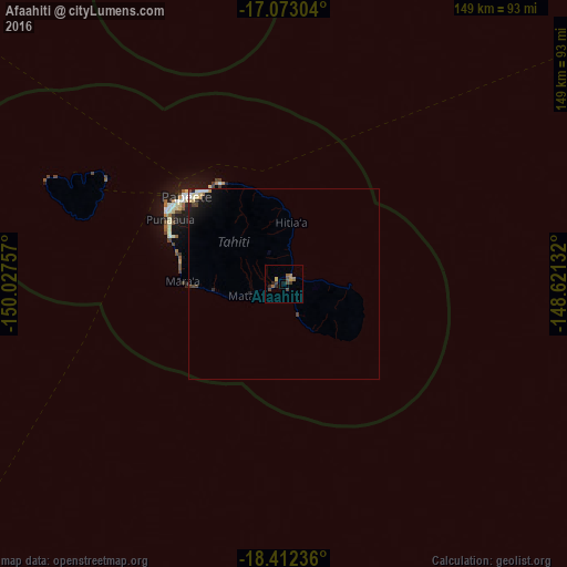
97.75%Clear (daylight) street map image can be seen on geolist.org.
Map coordinates:
17° 4' 22.9" South, 150° 1' 39.3" West
17° 44' 38.2" South, 149° 19' 28" West
18° 24' 44.5" South, 148° 37' 16.8" West
Some cities around Afaahiti sort by population:
• Faaa
36.3 km =22.6 mi,  306°
306°
• Papeete
34.4 km =21.4 mi, 311°
• Punaauia
31.7 km =19.7 mi,  292°
292°
• Pirae
33.6 km =20.9 mi,  318°
318°
• Mahina
31.6 km =19.6 mi,  326°
326°
• Paea
28.2 km =17.5 mi,  283°
283°
• Papao
23.9 km =14.9 mi,  268°
268°
• Arue
31.4 km =19.5 mi, 323°
4034745 (p: 5,186)
Sources (retrieved 2019-11-25):
» Earth at Night: Flat Maps 2012, 2016