Papeete night lights from space
Night Light of Papeete (Îles du Vent) from space (French Polynesia) Src. Average luminocity for 10x10km area is 37.9979% and for 50x50km: 3.1805%.
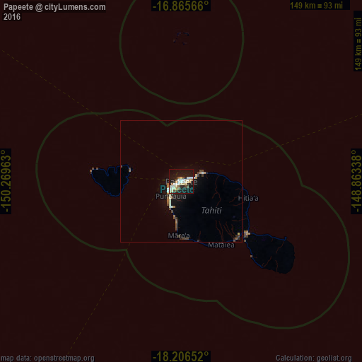
Analysis of Papeete night lights 2016
Square area 10x10 km:
 3.93%
3.93%90-99
11.78%80-89
9.71%70-79
1.86%60-69
2.07%50-59
2.48%40-49
4.55%30-39
0.83%20-29
5.79%10-19
42.36%0-9
14.67%Square area 50x50 km:
0.19%90-99
0.66%80-89
0.58%70-79
0.22%60-69
0.3%50-59
0.3%40-49
0.71%30-39
0.2%20-29
0.45%10-19
3.38%0-9
93.01%Clear (daylight) street map image can be seen on geolist.org.
Map coordinates:
16° 51' 56.4" South, 150° 16' 10.7" West
17° 32' 14.4" South, 149° 33' 59.4" West
18° 12' 23.5" South, 148° 51' 48.2" West
Some cities around Papeete sort by population:
• Faaa
3.8 km =2.4 mi,  248°
248°
• Punaauia
11.2 km =7 mi,  198°
198°
• Pirae
4.2 km =2.6 mi,  56°
56°
• Mahina
8.9 km =5.5 mi,  67°
67°
• Paea
16.3 km =10.1 mi,  186°
186°
• Papao
23.7 km =14.7 mi,  175°
175°
• Arue
7.4 km =4.6 mi, 71°
• Afaahiti
34.4 km =21.4 mi,  131°
131°
4033936 (p: 26,357)
Sources (retrieved 2019-11-25):
» Earth at Night: Flat Maps 2012, 2016