Arue night lights from space
Night Light of Arue (Îles du Vent) from space (French Polynesia) Src. Average luminocity for 10x10km area is 16.8306% and for 50x50km: 3.12%.
Analysis of Arue night lights 2016
Square area 10x10 km:
 1.03%
1.03%90-99
3.72%80-89
2.69%70-79
3.1%60-69
0.21%50-59
0.83%40-49
4.34%30-39
0.62%20-29
1.65%10-19
17.77%0-9
64.05%Square area 50x50 km:
0.19%90-99
0.66%80-89
0.58%70-79
0.25%60-69
0.37%50-59
0.26%40-49
0.56%30-39
0.19%20-29
0.32%10-19
3.38%0-9
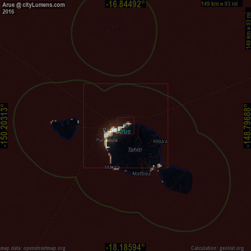
93.25%Clear (daylight) street map image can be seen on geolist.org.
Map coordinates:
16° 50' 41.7" South, 150° 12' 11.3" West
17° 31' 0" South, 149° 30' 0" West
18° 11' 9.4" South, 148° 47' 48.8" West
Some cities around Arue sort by population:
• Faaa
11.2 km =7 mi,  250°
250°
• Papeete
7.4 km =4.6 mi, 251°
• Punaauia
16.8 km =10.4 mi,  219°
219°
• Pirae
3.5 km =2.2 mi,  270°
270°
• Mahina
1.6 km =1 mi,  45°
45°
• Paea
20.5 km =12.7 mi,  205°
205°
• Papao
26.5 km =16.5 mi,  191°
191°
• Afaahiti
31.4 km =19.5 mi,  143°
143°
4034636 (p: 9,458)
Sources (retrieved 2019-11-25):
» Earth at Night: Flat Maps 2012, 2016