Puquio night lights from space
Night Light of Puquio (Ayacucho) from space (Peru) Src. Average luminocity for 10x10km area is 5.5702% and for 50x50km: 0.4268%.
Analysis of Puquio night lights 2016
Square area 10x10 km:
 0.62%
0.62%90-99
0.21%80-89
0.21%70-79
3.1%60-69
0.83%50-59
0.83%40-49
0%30-39
0.21%20-29
0.62%10-19
0%0-9
93.39%Square area 50x50 km:
0.02%90-99
0.01%80-89
0.01%70-79
0.13%60-69
0.16%50-59
0.1%40-49
0.03%30-39
0.04%20-29
0.1%10-19
0.06%0-9
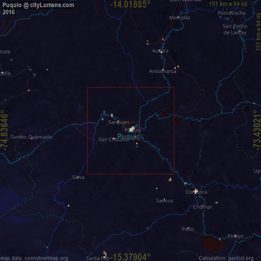
99.34%Clear (daylight) street map image can be seen on geolist.org.
Map coordinates:
14° 1' 7.9" South, 74° 50' 11.3" West
14° 42' 0" South, 74° 7' 60" West
15° 22' 44.5" South, 73° 25' 48.8" West
Some cities around Puquio sort by population:
• Nazca
87.8 km =54.6 mi,  260°
260°
• Andahuaylas
141.3 km =87.8 mi,  34°
34°
• Minas de Marcona
119.4 km =74.2 mi,  241°
241°
• Coracora
52.8 km =32.8 mi,  134°
134°
• Talavera
139 km =86.4 mi, 33°
• Palpa
114.7 km =71.3 mi,  279°
279°
• San Jerónimo
143.1 km =88.9 mi,  35°
35°
• Tambo
25 km =15.5 mi,  115°
115°
3931223 (p: 10,491)
Sources (retrieved 2019-11-25):
» Earth at Night: Flat Maps 2012, 2016