Jauja night lights from space
Night Light of Jauja (Junin) from space (Peru) Src. Average luminocity for 10x10km area is 20.8595% and for 50x50km: 3.5749%.
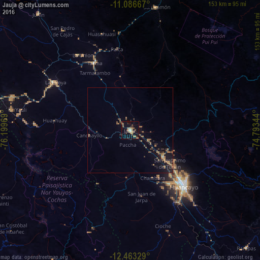
Analysis of Jauja night lights 2016
Square area 10x10 km:
 0.21%
0.21%90-99
2.27%80-89
0%70-79
5.17%60-69
5.99%50-59
4.75%40-49
2.69%30-39
3.1%20-29
3.1%10-19
8.47%0-9
64.26%Square area 50x50 km:
0.03%90-99
0.11%80-89
0%70-79
0.73%60-69
1.19%50-59
0.72%40-49
0.72%30-39
0.6%20-29
0.67%10-19
2.91%0-9
92.31%Clear (daylight) street map image can be seen on geolist.org.
Map coordinates:
11° 5' 12" South, 76° 11' 58.9" West
11° 46' 33" South, 75° 29' 47.6" West
12° 27' 47.8" South, 74° 47' 36.4" West
Some cities around Jauja sort by population:
• Tarma
44.9 km =27.9 mi,  332°
332°
• Concepción
25.4 km =15.8 mi,  128°
128°
• Chupaca
39.8 km =24.7 mi,  144°
144°
• San Jerónimo
30.6 km =19 mi, 130°
• Pilcomay
40.4 km =25.1 mi, 138°
• Sicaya
36.8 km =22.9 mi, 140°
• Acolla
7.3 km =4.5 mi,  312°
312°
• San Agustin
34.1 km =21.2 mi, 129°
3937733 (p: 21,057)
Sources (retrieved 2019-11-25):
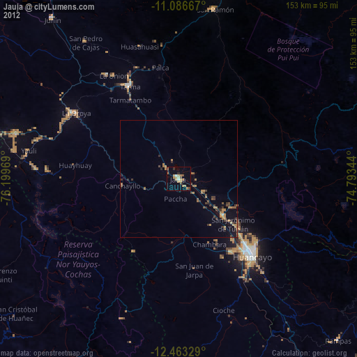
» Earth at Night: Flat Maps 2012, 2016