Richmond night lights from space
Night Light of Richmond (Tasman) from space (New Zealand) Src. Average luminocity for 10x10km area is 20.3163% and for 50x50km: 2.0362%.
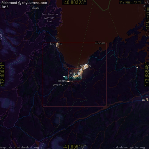
Analysis of Richmond night lights 2016
Square area 10x10 km:
 1.53%
1.53%90-99
4.93%80-89
1.7%70-79
4.25%60-69
1.7%50-59
1.19%40-49
2.89%30-39
1.87%20-29
2.38%10-19
21.09%0-9
56.46%Square area 50x50 km:
0.14%90-99
0.44%80-89
0.19%70-79
0.32%60-69
0.14%50-59
0.21%40-49
0.29%30-39
0.29%20-29
0.28%10-19
2.04%0-9
95.65%Clear (daylight) street map image can be seen on geolist.org.
Map coordinates:
40° 48' 11.6" South, 172° 28' 48.8" East
41° 19' 60" South, 173° 10' 60" East
41° 51' 32.9" South, 173° 53' 11.3" East
Some cities around Richmond sort by population:
• Wellington
133.1 km =82.7 mi,  87°
87°
• Lower Hutt
145.4 km =90.3 mi,  84°
84°
• Nelson
10.9 km =6.8 mi,  50°
50°
• Porirua
141.1 km =87.7 mi, 80°
• Blenheim
67.3 km =41.8 mi,  107°
107°
• Khandallah
134.9 km =83.8 mi, 85°
• Motueka
26.2 km =16.3 mi,  327°
327°
• Petone
141.4 km =87.9 mi, 85°
2183472 (p: 14,000)
Sources (retrieved 2019-11-25):
» Earth at Night: Flat Maps 2012, 2016