Blenheim night lights from space
Night Light of Blenheim (Marlborough) from space (New Zealand) Src. Average luminocity for 10x10km area is 17.648% and for 50x50km: 1.016%.
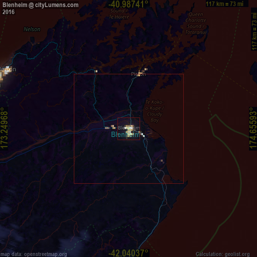
Analysis of Blenheim night lights 2016
Square area 10x10 km:
 0.85%
0.85%90-99
2.55%80-89
5.27%70-79
1.7%60-69
1.53%50-59
0.85%40-49
1.87%30-39
2.38%20-29
3.57%10-19
8.5%0-9
70.92%Square area 50x50 km:
0.04%90-99
0.13%80-89
0.25%70-79
0.1%60-69
0.1%50-59
0.11%40-49
0.18%30-39
0.1%20-29
0.17%10-19
0.4%0-9
98.41%Clear (daylight) street map image can be seen on geolist.org.
Map coordinates:
40° 59' 14.7" South, 173° 14' 58.8" East
41° 30' 57.7" South, 173° 57' 10.1" East
42° 2' 25.3" South, 174° 39' 21.3" East
Some cities around Blenheim sort by population:
• Wellington
73.2 km =45.5 mi,  69°
69°
• Lower Hutt
87 km =54.1 mi, 67°
• Nelson
62.1 km =38.6 mi,  296°
296°
• Porirua
86.2 km =53.6 mi,  60°
60°
• Richmond
67.3 km =41.8 mi,  287°
287°
• Khandallah
76.4 km =47.5 mi, 66°
• Motueka
89 km =55.3 mi, 298°
• Petone
83 km =51.6 mi, 67°
6243926 (p: 26,550)
Sources (retrieved 2019-11-25):
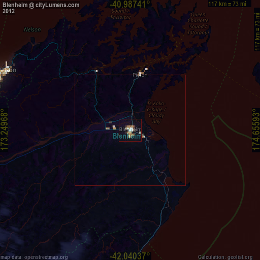
» Earth at Night: Flat Maps 2012, 2016