Lahān night lights from space
Night Light of Lahān (Province 2) from space (Nepal) Src. Average luminocity for 10x10km area is 10.1151% and for 50x50km: 4.6983%.
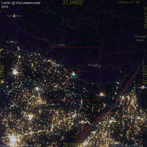
Analysis of Lahān night lights 2016
Square area 10x10 km:
 0%
0%90-99
2.38%80-89
0%70-79
0.79%60-69
1.39%50-59
1.19%40-49
2.78%30-39
2.98%20-29
2.78%10-19
2.38%0-9
83.33%Square area 50x50 km:
0%90-99
0.12%80-89
0.1%70-79
0.32%60-69
0.54%50-59
0.74%40-49
1.61%30-39
2.06%20-29
2.32%10-19
1.81%0-9
90.37%Clear (daylight) street map image can be seen on geolist.org.
Map coordinates:
27° 20' 47.5" North, 85° 46' 46.1" East
26° 43' 12.8" North, 86° 28' 57.3" East
26° 5' 25.7" North, 87° 11' 8.6" East
Some cities around Lahān sort by population:
• Janakpur
55.3 km =34.4 mi,  270°
270°
• Triyuga
22.9 km =14.2 mi,  69°
69°
• Rājbirāj
33.1 km =20.6 mi,  127°
127°
• Jhanjhārpur, IN
54.5 km =33.9 mi,  201°
201°
• Siraha
28.3 km =17.6 mi,  254°
254°
• Jaynagar, IN
37.2 km =23.1 mi, 247°
• Bīrpur, IN
57.7 km =35.9 mi,  114°
114°
• Nirmāli, IN
46.3 km =28.8 mi,  167°
167°
1283161 (p: 31,495)
Sources (retrieved 2019-11-25):
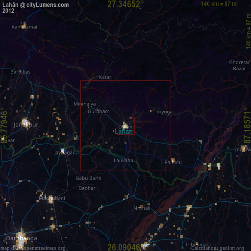
» Earth at Night: Flat Maps 2012, 2016