Rājbirāj night lights from space
Night Light of Rājbirāj (Province 2) from space (Nepal) Src. Average luminocity for 10x10km area is 13.928% and for 50x50km: 7.2328%.
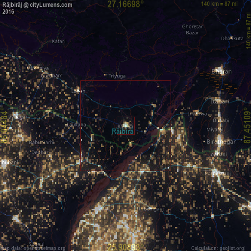
Analysis of Rājbirāj night lights 2016
Square area 10x10 km:
 0.76%
0.76%90-99
1.52%80-89
3.6%70-79
0.95%60-69
0%50-59
0.57%40-49
4.55%30-39
1.7%20-29
5.49%10-19
4.73%0-9
76.14%Square area 50x50 km:
0.1%90-99
0.32%80-89
0.5%70-79
0.42%60-69
0.83%50-59
1.45%40-49
2.08%30-39
2.42%20-29
2.9%10-19
8.44%0-9
80.55%Clear (daylight) street map image can be seen on geolist.org.
Map coordinates:
27° 10' 1.1" North, 86° 2' 41.4" East
26° 32' 22.8" North, 86° 44' 52.7" East
25° 54' 32.1" North, 87° 27' 3.9" East
Some cities around Rājbirāj sort by population:
• Triyuga
28.5 km =17.7 mi,  350°
350°
• Inaruwa
40.5 km =25.2 mi,  79°
79°
• Supaul, IN
49.6 km =30.8 mi,  197°
197°
• Lahān
33.1 km =20.6 mi,  307°
307°
• Bhawanipur, IN
29.4 km =18.3 mi,  109°
109°
• Chhātāpur, IN
43.8 km =27.2 mi,  144°
144°
• Bīrpur, IN
26.5 km =16.5 mi,  97°
97°
• Nirmāli, IN
29.9 km =18.6 mi,  212°
212°
1282884 (p: 33,061)
Sources (retrieved 2019-11-25):
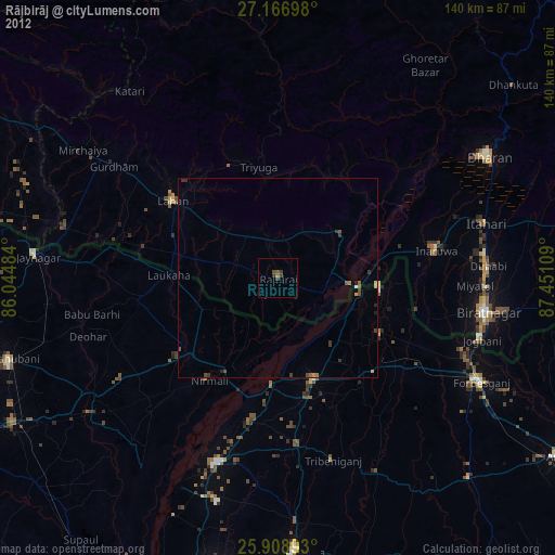
» Earth at Night: Flat Maps 2012, 2016