Pokhara night lights from space
Night Light of Pokhara (Province 4) from space (Nepal) Src. Average luminocity for 10x10km area is 5.4286% and for 50x50km: 0.8978%.
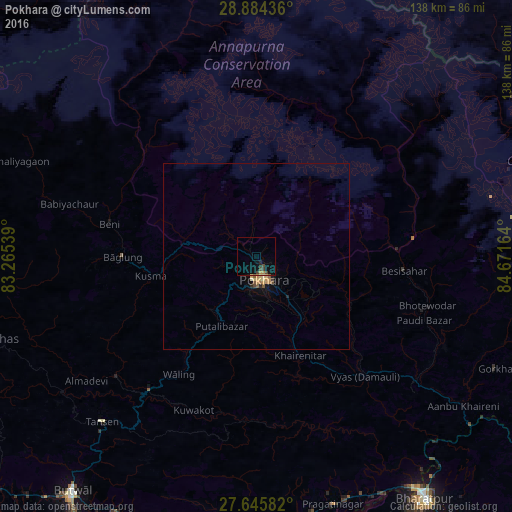
Analysis of Pokhara night lights 2016
Square area 10x10 km:
 0%
0%90-99
0%80-89
0%70-79
1.19%60-69
0.4%50-59
0%40-49
2.78%30-39
1.19%20-29
1.59%10-19
3.97%0-9
88.89%Square area 50x50 km:
0%90-99
0.03%80-89
0.17%70-79
0.26%60-69
0.12%50-59
0.15%40-49
0.17%30-39
0.08%20-29
0.15%10-19
0.32%0-9
98.54%Clear (daylight) street map image can be seen on geolist.org.
Map coordinates:
28° 53' 3.7" North, 83° 15' 55.4" East
28° 16' 0.8" North, 83° 58' 6.6" East
27° 38' 45" North, 84° 40' 17.9" East
Some cities around Pokhara sort by population:
• Bharatpur
80.1 km =49.8 mi,  145°
145°
• Butwāl
81.1 km =50.4 mi,  219°
219°
• Siddharthanagar
99.3 km =61.7 mi,  210°
210°
• Nautanwa, IN
107.9 km =67 mi, 210°
• Tānsen
60.7 km =37.7 mi, 222°
• Bāglung
37.1 km =23.1 mi,  270°
270°
• Wāliṅ
37.6 km =23.4 mi, 213°
• Bhattarai Danda
42.8 km =26.6 mi,  184°
184°
1282898 (p: 200,000)
Sources (retrieved 2019-11-25):
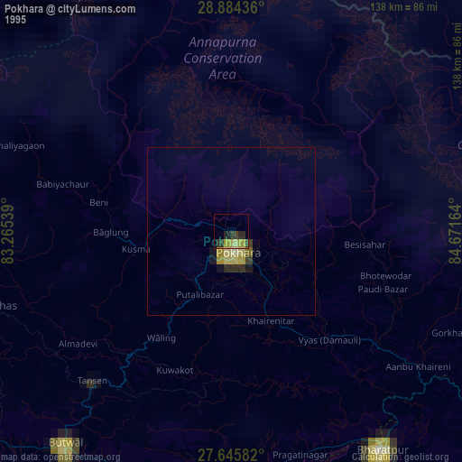
» NASA, Earths city lights 1995
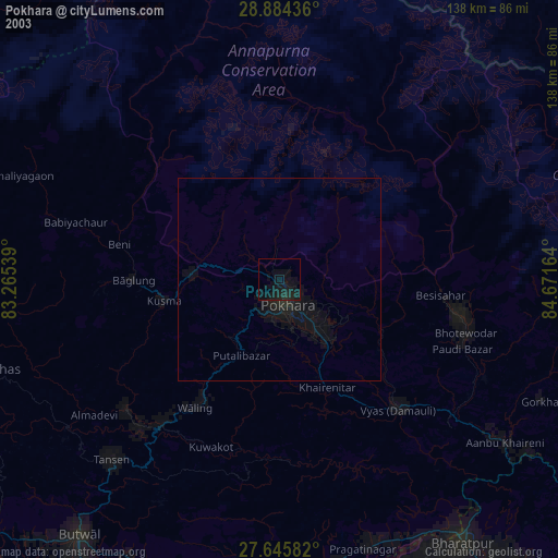
» NASA city lights 2003
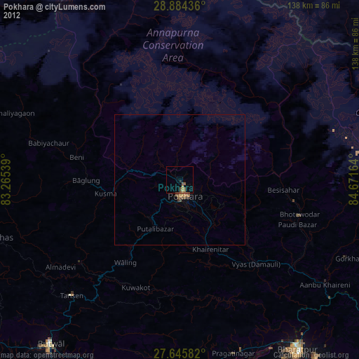
» Earth at Night: Flat Maps 2012, 2016