Bāglung night lights from space
Night Light of Bāglung (Province 4) from space (Nepal) Src. Average luminocity for 10x10km area is 0.5913% and for 50x50km: 0.029%.
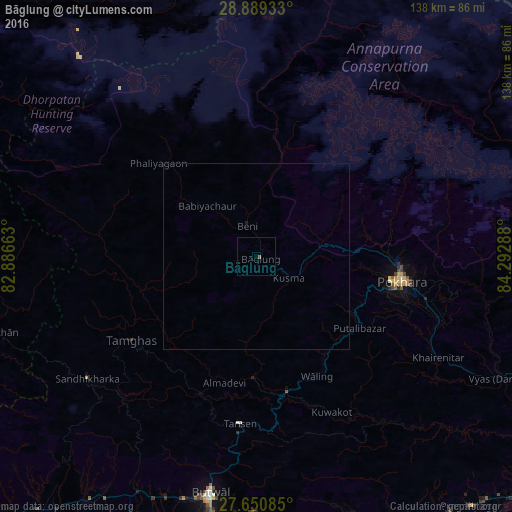
Analysis of Bāglung night lights 2016
Square area 10x10 km:
 0%
0%90-99
0%80-89
0%70-79
0%60-69
0%50-59
0.79%40-49
0%30-39
0%20-29
0%10-19
0%0-9
99.21%Square area 50x50 km:
0%90-99
0%80-89
0%70-79
0%60-69
0%50-59
0.03%40-49
0%30-39
0%20-29
0%10-19
0.03%0-9
99.94%Clear (daylight) street map image can be seen on geolist.org.
Map coordinates:
28° 53' 21.6" North, 82° 53' 11.9" East
28° 16' 18.8" North, 83° 35' 23.1" East
27° 39' 3.1" North, 84° 17' 34.4" East
Some cities around Bāglung sort by population:
• Pokhara
37.1 km =23.1 mi,  90°
90°
• Bharatpur
106.2 km =66 mi,  128°
128°
• Butwāl
65 km =40.4 mi,  192°
192°
• Siddharthanagar
86.9 km =54 mi, 189°
• Nautanwa, IN
95.4 km =59.3 mi, 190°
• Tānsen
45.2 km =28.1 mi, 185°
• Wāliṅ
36.1 km =22.4 mi,  152°
152°
• Bhattarai Danda
54.8 km =34.1 mi,  142°
142°
1283711 (p: 23,296)
Sources (retrieved 2019-11-25):
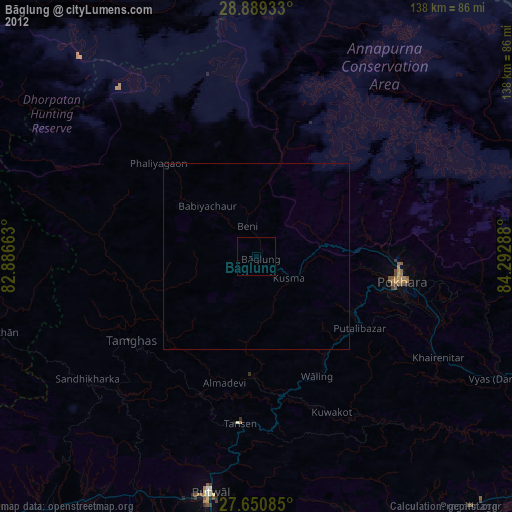
» Earth at Night: Flat Maps 2012, 2016