Tānsen night lights from space
Night Light of Tānsen (Province 5) from space (Nepal) Src. Average luminocity for 10x10km area is 1.8352% and for 50x50km: 1.1102%.
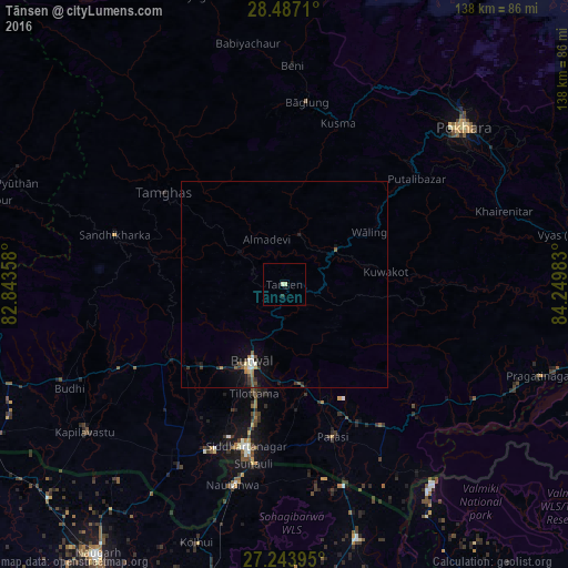
Analysis of Tānsen night lights 2016
Square area 10x10 km:
 0%
0%90-99
0.76%80-89
0.76%70-79
0%60-69
0%50-59
0%40-49
0%30-39
0%20-29
0.76%10-19
0.76%0-9
96.97%Square area 50x50 km:
0.08%90-99
0.18%80-89
0.08%70-79
0.08%60-69
0.15%50-59
0.16%40-49
0.24%30-39
0.26%20-29
0.13%10-19
0.91%0-9
97.72%Clear (daylight) street map image can be seen on geolist.org.
Map coordinates:
28° 29' 13.6" North, 82° 50' 36.9" East
27° 52' 2.3" North, 83° 32' 48.1" East
27° 14' 38.2" North, 84° 14' 59.4" East
Some cities around Tānsen sort by population:
• Pokhara
60.7 km =37.7 mi,  42°
42°
• Butwāl
20.9 km =13 mi,  207°
207°
• Siddharthanagar
41.9 km =26 mi,  193°
193°
• Nautanwa, IN
50.5 km =31.4 mi, 194°
• Bāglung
45.2 km =28.1 mi,  5°
5°
• Wāliṅ
24.6 km =15.3 mi,  58°
58°
• Nichlaul, IN
64.2 km =39.9 mi,  164°
164°
• Bhattarai Danda
38 km =23.6 mi,  87°
87°
1282714 (p: 23,693)
Sources (retrieved 2019-11-25):
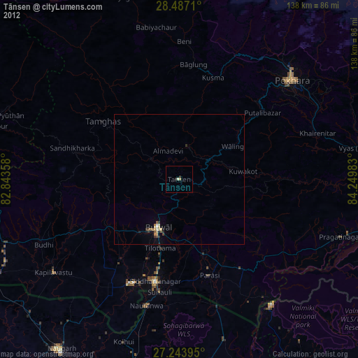
» Earth at Night: Flat Maps 2012, 2016