Siddharthanagar night lights from space
Night Light of Siddharthanagar (Province 5) from space (Nepal) Src. Average luminocity for 10x10km area is 28.2262% and for 50x50km: 4.144%.
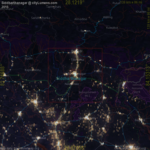
Analysis of Siddharthanagar night lights 2016
Square area 10x10 km:
 1.98%
1.98%90-99
6.75%80-89
1.98%70-79
3.37%60-69
3.77%50-59
3.37%40-49
4.96%30-39
3.97%20-29
2.98%10-19
41.87%0-9
25%Square area 50x50 km:
0.25%90-99
0.51%80-89
0.18%70-79
0.46%60-69
0.51%50-59
0.57%40-49
0.81%30-39
1.19%20-29
1.13%10-19
3.78%0-9
90.62%Clear (daylight) street map image can be seen on geolist.org.
Map coordinates:
28° 7' 18.8" North, 82° 44' 48.8" East
27° 30' 0" North, 83° 27' 0" East
26° 52' 28.4" North, 84° 9' 11.3" East
Some cities around Siddharthanagar sort by population:
• Butwāl
22.3 km =13.9 mi,  359°
359°
• Nautanwa, IN
8.7 km =5.4 mi,  201°
201°
• Mahārāganj, IN
41 km =25.5 mi,  164°
164°
• Tānsen
41.9 km =26 mi,  13°
13°
• Siswā Bāzār, IN
49.7 km =30.9 mi,  142°
142°
• Nichlaul, IN
34.3 km =21.3 mi,  127°
127°
• Khada, IN
55.4 km =34.4 mi, 129°
• Anandnagar, IN
47.8 km =29.7 mi, 201°
1283621 (p: 63,367)
Sources (retrieved 2019-11-25):
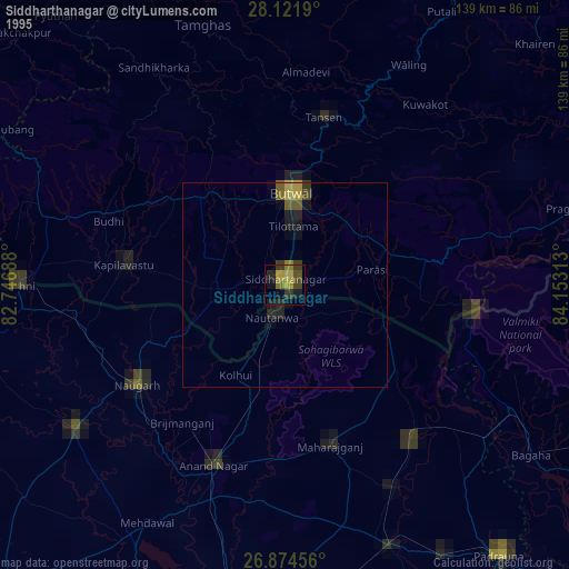
» NASA, Earths city lights 1995
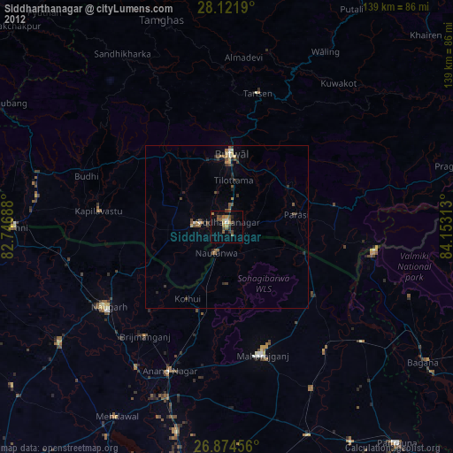
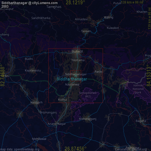
» NASA city lights 2003
» Earth at Night: Flat Maps 2012, 2016