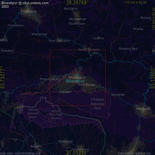
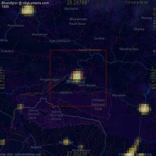
Bharatpur night lights from space
Night Light of Bharatpur (Province 3) from space (Nepal) Src. Average luminocity for 10x10km area is 37.0516% and for 50x50km: 2.5399%.


Analysis of Bharatpur night lights 2016
Square area 10x10 km:
 3.77%
3.77%90-99
6.94%80-89
4.17%70-79
4.17%60-69
5.95%50-59
7.94%40-49
4.96%30-39
3.37%20-29
12.3%10-19
30.56%0-9
15.87%Square area 50x50 km:
0.15%90-99
0.27%80-89
0.19%70-79
0.18%60-69
0.29%50-59
0.54%40-49
0.59%30-39
0.56%20-29
0.97%10-19
2.18%0-9
94.1%Clear (daylight) street map image can be seen on geolist.org.
Map coordinates:
28° 17' 51.7" North, 83° 43' 58" East
27° 40' 36.5" North, 84° 26' 9.2" East
27° 3' 8.5" North, 85° 8' 20.5" East
Some cities around Bharatpur sort by population:
• Pokhara
80.1 km =49.8 mi,  325°
325°
• Bagaha, IN
72.7 km =45.2 mi,  207°
207°
• Hetauda
64.9 km =40.3 mi,  115°
115°
• Rāmnagar, IN
58.1 km =36.1 mi,  191°
191°
• Wāliṅ
74.8 km =46.5 mi,  297°
297°
• Nichlaul, IN
81 km =50.3 mi,  239°
239°
• Khada, IN
77.4 km =48.1 mi,  224°
224°
• Bhattarai Danda
54.5 km =33.9 mi,  294°
294°
1283613 (p: 107,157)
Sources (retrieved 2019-11-25):
» NASA, Earths city lights 1995
» NASA city lights 2003
» Earth at Night: Flat Maps 2012, 2016