Sarpsborg night lights from space
Night Light of Sarpsborg (Østfold) from space (Norway) Src. Average luminocity for 10x10km area is 48.9361% and for 50x50km: 9.8871%.
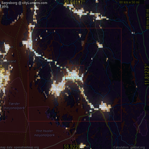
Analysis of Sarpsborg night lights 2016
Square area 10x10 km:
 11.69%
90-99
14.29%80-89
3.35%70-79
3.46%60-69
3.68%50-59
5.3%40-49
4.76%30-39
3.03%20-29
25.65%10-19
19.48%0-9
5.3%Square area 50x50 km:
1.76%90-99
2.24%80-89
0.98%70-79
0.87%60-69
0.77%50-59
0.85%40-49
0.74%30-39
0.74%20-29
3.47%10-19
8.23%0-9
79.34%Clear (daylight) street map image can be seen on geolist.org.
Map coordinates:
59° 38' 28.2" North, 10° 24' 23.4" East
59° 17' 2.1" North, 11° 6' 34.6" East
58° 55' 22.3" North, 11° 48' 45.9" East
Some cities around Sarpsborg sort by population:
• Fredrikstad
12.6 km =7.8 mi,  234°
234°
• Tønsberg
39.9 km =24.8 mi,  267°
267°
• Moss
30.6 km =19 mi,  303°
303°
• Halden
23.7 km =14.7 mi,  138°
138°
• Horten
38.5 km =23.9 mi,  292°
292°
• Askim
33.4 km =20.8 mi,  5°
5°
• Strömstad, SE
38.5 km =23.9 mi,  174°
174°
• Mysen
32.4 km =20.1 mi,  22°
22°
3140084 (p: 52,159)
Sources (retrieved 2019-11-25):
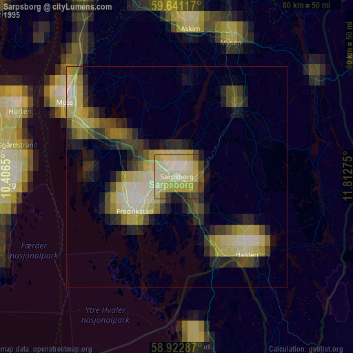
» NASA, Earths city lights 1995
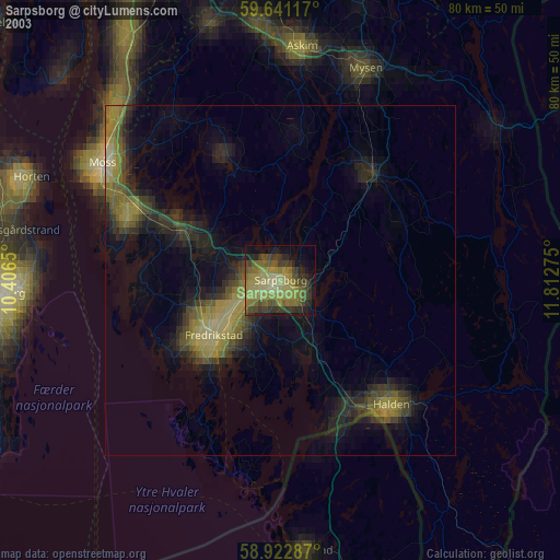
» NASA city lights 2003
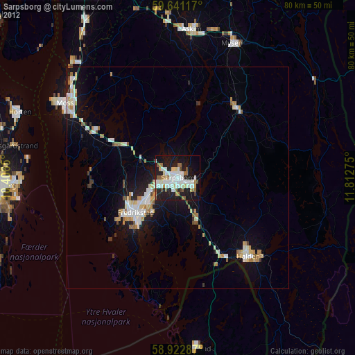
» Earth at Night: Flat Maps 2012, 2016