Mysen night lights from space
Night Light of Mysen (Østfold) from space (Norway) Src. Average luminocity for 10x10km area is 20.3662% and for 50x50km: 3.6528%.
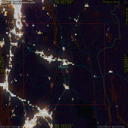
Analysis of Mysen night lights 2016
Square area 10x10 km:
100  2.38%
2.38%
90-99 4.42%
80-89 1.47%
70-79 3.74%
60-69 2.95%
50-59 1.47%
40-49 1.93%
30-39 0.23%
20-29 0%
10-19 25.17%
0-9 56.24%
2.38%90-99
4.42%80-89
1.47%70-79
3.74%60-69
2.95%50-59
1.47%40-49
1.93%30-39
0.23%20-29
0%10-19
25.17%0-9
56.24%Square area 50x50 km:
100 0.5%
90-99 0.66%
80-89 0.34%
70-79 0.54%
60-69 0.31%
50-59 0.33%
40-49 0.22%
30-39 0.16%
20-29 0.41%
10-19 3.8%
0-9 92.74%
0.5%90-99
0.66%80-89
0.34%70-79
0.54%60-69
0.31%50-59
0.33%40-49
0.22%30-39
0.16%20-29
0.41%10-19
3.8%0-9
92.74%Clear (daylight) street map image can be seen on geolist.org.
Map coordinates:
59° 54' 28.7" North, 10° 37' 21.6" East
59° 33' 12.7" North, 11° 19' 32.8" East
59° 11' 43.3" North, 12° 1' 44.1" East
Some cities around Mysen sort by population:
• Sarpsborg
32.4 km =20.1 mi,  202°
202°
• Moss
40 km =24.9 mi,  250°
250°
• Ski
33.2 km =20.6 mi,  303°
303°
• Askim
9.8 km =6.1 mi,  289°
289°
• Drøbak
41 km =25.5 mi, 287°
• Ås
32.3 km =20.1 mi, 292°
• Fetsund
42.3 km =26.3 mi,  347°
347°
• Vestby
32.8 km =20.4 mi,  280°
280°
3145094 (p: 5,516)
Sources (retrieved 2019-11-25):
» Earth at Night: Flat Maps 2012, 2016