Askim night lights from space
Night Light of Askim (Østfold) from space (Norway) Src. Average luminocity for 10x10km area is 29.2234% and for 50x50km: 7.8577%.
Analysis of Askim night lights 2016
Square area 10x10 km:
100  6.35%
6.35%
90-99 7.03%
80-89 2.15%
70-79 4.08%
60-69 2.72%
50-59 0.79%
40-49 0.45%
30-39 0.68%
20-29 1.02%
10-19 47.28%
0-9 27.44%
6.35%90-99
7.03%80-89
2.15%70-79
4.08%60-69
2.72%50-59
0.79%40-49
0.45%30-39
0.68%20-29
1.02%10-19
47.28%0-9
27.44%Square area 50x50 km:
100 1.38%
90-99 1.59%
80-89 0.61%
70-79 0.78%
60-69 0.74%
50-59 0.81%
40-49 0.71%
30-39 0.81%
20-29 1.83%
10-19 7.73%
0-9 83.01%
1.38%90-99
1.59%80-89
0.61%70-79
0.78%60-69
0.74%50-59
0.81%40-49
0.71%30-39
0.81%20-29
1.83%10-19
7.73%0-9
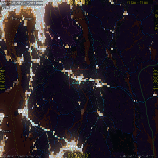
83.01%Clear (daylight) street map image can be seen on geolist.org.
Map coordinates:
59° 56' 14.5" North, 10° 27' 35.1" East
59° 34' 59.7" North, 11° 9' 46.3" East
59° 13' 31.4" North, 11° 51' 57.6" East
Some cities around Askim sort by population:
• Sarpsborg
33.4 km =20.8 mi,  185°
185°
• Moss
33 km =20.5 mi,  239°
239°
• Ski
23.8 km =14.8 mi,  309°
309°
• Drøbak
31.3 km =19.4 mi,  286°
286°
• Ås
22.6 km =14 mi, 293°
• Fetsund
38 km =23.6 mi,  359°
359°
• Mysen
9.8 km =6.1 mi,  109°
109°
• Vestby
23.2 km =14.4 mi,  276°
276°
3162651 (p: 12,482)
Sources (retrieved 2019-11-25):
» Earth at Night: Flat Maps 2012, 2016