Harstad night lights from space
Night Light of Harstad (Troms) from space (Norway) Src. Average luminocity for 10x10km area is 18.2439% and for 50x50km: 1.1509%.
Analysis of Harstad night lights 2016
Square area 10x10 km:
 3.64%
3.64%90-99
4.7%80-89
1.59%70-79
1.59%60-69
2.12%50-59
1.21%40-49
0.45%30-39
0.38%20-29
3.86%10-19
21.52%0-9
58.94%Square area 50x50 km:
0.19%90-99
0.22%80-89
0.09%70-79
0.12%60-69
0.16%50-59
0.11%40-49
0.17%30-39
0.04%20-29
0.18%10-19
1.07%0-9
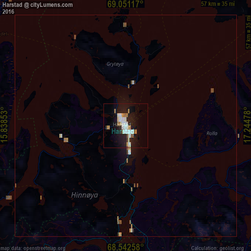
97.65%Clear (daylight) street map image can be seen on geolist.org.
Map coordinates:
69° 3' 4.2" North, 15° 50' 18.7" East
68° 47' 54" North, 16° 32' 29.9" East
68° 32' 33.3" North, 17° 14' 41.2" East
Some cities around Harstad sort by population:
• Tromsø
134.2 km =83.4 mi,  45°
45°
• Bodø
190.7 km =118.5 mi,  207°
207°
• Kiruna, SE
184 km =114.3 mi,  124°
124°
• Narvik
53.8 km =33.4 mi,  138°
138°
• Alta
293.7 km =182.5 mi,  63°
63°
• Gällivare, SE
252.2 km =156.7 mi, 137°
• Malmberget, SE
248.8 km =154.6 mi, 136°
• Fauske
177.7 km =110.4 mi,  195°
195°
3153823 (p: 19,433)
Sources (retrieved 2019-11-25):
» Earth at Night: Flat Maps 2012, 2016