Bodø night lights from space
Night Light of Bodø (Nordland) from space (Norway) Src. Average luminocity for 10x10km area is 23.9489% and for 50x50km: 1.5634%.
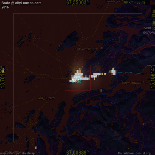
Analysis of Bodø night lights 2016
Square area 10x10 km:
 6.9%
6.9%90-99
6.41%80-89
0.97%70-79
0%60-69
1.62%50-59
1.7%40-49
1.3%30-39
1.22%20-29
4.38%10-19
29.87%0-9
45.62%Square area 50x50 km:
0.38%90-99
0.39%80-89
0.1%70-79
0.05%60-69
0.07%50-59
0.08%40-49
0.09%30-39
0.12%20-29
0.21%10-19
1.42%0-9
97.09%Clear (daylight) street map image can be seen on geolist.org.
Map coordinates:
67° 33' 0.1" North, 13° 42' 6.8" East
67° 16' 48" North, 14° 24' 18" East
67° 0' 24.8" North, 15° 6' 29.3" East
Some cities around Bodø sort by population:
• Harstad
190.7 km =118.5 mi,  27°
27°
• Mo i Rana
108.2 km =67.2 mi,  186°
186°
• Kiruna, SE
255 km =158.4 mi,  75°
75°
• Narvik
180.6 km =112.2 mi,  44°
44°
• Mosjøen
169.3 km =105.2 mi,  198°
198°
• Malmberget, SE
269.1 km =167.2 mi,  92°
92°
• Fauske
42.5 km =26.4 mi, 93°
• Sandnessjøen
160.2 km =99.5 mi,  209°
209°
3160881 (p: 34,073)
Sources (retrieved 2019-11-25):
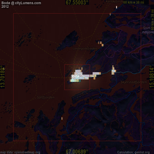
» Earth at Night: Flat Maps 2012, 2016