Fauske night lights from space
Night Light of Fauske (Nordland) from space (Norway) Src. Average luminocity for 10x10km area is 7.8531% and for 50x50km: 0.5841%.
Analysis of Fauske night lights 2016
Square area 10x10 km:
 1.3%
1.3%90-99
1.7%80-89
0.57%70-79
0.97%60-69
0.81%50-59
1.46%40-49
0.32%30-39
0%20-29
0%10-19
2.35%0-9
90.5%Square area 50x50 km:
0.07%90-99
0.08%80-89
0.07%70-79
0.09%60-69
0.06%50-59
0.14%40-49
0.03%30-39
0.11%20-29
0.03%10-19
0.12%0-9
99.2%Clear (daylight) street map image can be seen on geolist.org.
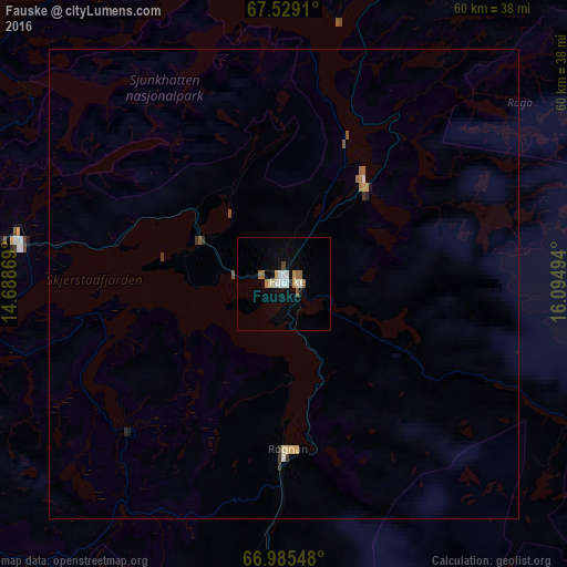
Map coordinates:
67° 31' 44.8" North, 14° 41' 19.3" East
67° 15' 31.8" North, 15° 23' 30.5" East
66° 59' 7.7" North, 16° 5' 41.8" East
Some cities around Fauske sort by population:
• Bodø
42.5 km =26.4 mi,  273°
273°
• Harstad
177.7 km =110.4 mi,  15°
15°
• Mo i Rana
118.6 km =73.7 mi,  207°
207°
• Kiruna, SE
215.6 km =134 mi,  72°
72°
• Narvik
156.5 km =97.2 mi,  33°
33°
• Mosjøen
185.8 km =115.5 mi, 211°
• Malmberget, SE
226.7 km =140.9 mi,  92°
92°
• Sandnessjøen
183.6 km =114.1 mi,  221°
221°
3157781 (p: 5,953)
Sources (retrieved 2019-11-25):
» Earth at Night: Flat Maps 2012, 2016