Sandnessjøen night lights from space
Night Light of Sandnessjøen (Nordland) from space (Norway) Src. Average luminocity for 10x10km area is 5.0679% and for 50x50km: 0.4235%.
Analysis of Sandnessjøen night lights 2016
Square area 10x10 km:
 0.62%
0.62%90-99
1.5%80-89
0.35%70-79
0.26%60-69
0.44%50-59
1.15%40-49
0.62%30-39
0%20-29
1.06%10-19
0.35%0-9
93.65%Square area 50x50 km:
0.05%90-99
0.08%80-89
0.01%70-79
0.02%60-69
0.02%50-59
0.08%40-49
0.13%30-39
0.05%20-29
0.1%10-19
0.16%0-9
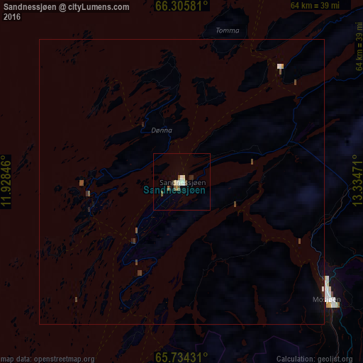
99.29%Clear (daylight) street map image can be seen on geolist.org.
Map coordinates:
66° 18' 20.9" North, 11° 55' 42.5" East
66° 1' 18" North, 12° 37' 53.7" East
65° 44' 3.5" North, 13° 20' 5" East
Some cities around Sandnessjøen sort by population:
• Bodø
160.2 km =99.5 mi,  29°
29°
• Steinkjer
229.4 km =142.5 mi,  193°
193°
• Mo i Rana
75.2 km =46.7 mi,  64°
64°
• Mosjøen
32.7 km =20.3 mi,  129°
129°
• Namsos
180.8 km =112.3 mi,  196°
196°
• Levanger
260.7 km =162 mi, 193°
• Verdal
253.6 km =157.6 mi, 192°
• Fauske
183.6 km =114.1 mi,  41°
41°
3140301 (p: 5,778)
Sources (retrieved 2019-11-25):
» Earth at Night: Flat Maps 2012, 2016