Vlissingen night lights from space
Night Light of Vlissingen (Zeeland) from space (Netherlands) Src. Average luminocity for 10x10km area is 22.008% and for 50x50km: 10.1679%.
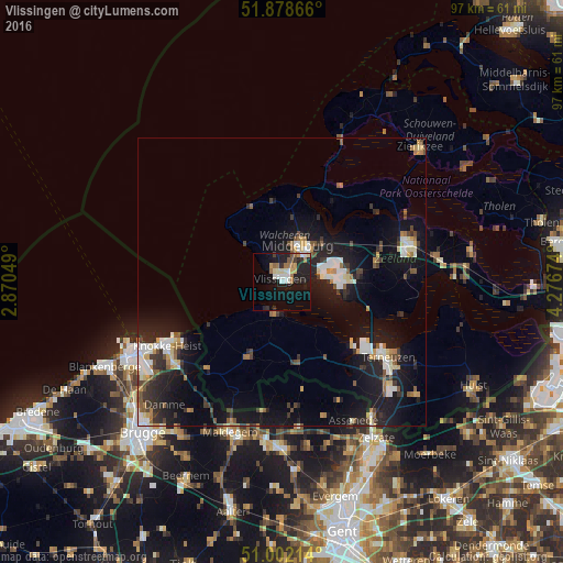
Analysis of Vlissingen night lights 2016
Square area 10x10 km:
 2.14%
2.14%90-99
4.68%80-89
2.01%70-79
1.87%60-69
4.55%50-59
1.87%40-49
1.2%30-39
1.6%20-29
9.49%10-19
22.19%0-9
48.4%Square area 50x50 km:
1.43%90-99
1.65%80-89
0.85%70-79
1.02%60-69
1.06%50-59
1.14%40-49
1.02%30-39
1.6%20-29
3.29%10-19
10.95%0-9
76%Clear (daylight) street map image can be seen on geolist.org.
Map coordinates:
51° 52' 43.2" North, 2° 52' 13.8" East
51° 26' 33" North, 3° 34' 25" East
51° 0' 7.7" North, 4° 16' 36.3" East
Some cities around Vlissingen sort by population:
• Middelburg
7 km =4.3 mi,  23°
23°
• Goes
22.9 km =14.2 mi,  72°
72°
• Knokke-Heist, BE
23.6 km =14.7 mi,  244°
244°
• Terneuzen
21.3 km =13.2 mi,  123°
123°
• Borssele
11.4 km =7.1 mi,  100°
100°
• Sint-Laureins, BE
22.6 km =14 mi,  188°
188°
• Dauwendaele
6.7 km =4.2 mi,  32°
32°
• Arnemuiden
9.6 km =6 mi,  46°
46°
2745392 (p: 45,273)
Sources (retrieved 2019-11-25):
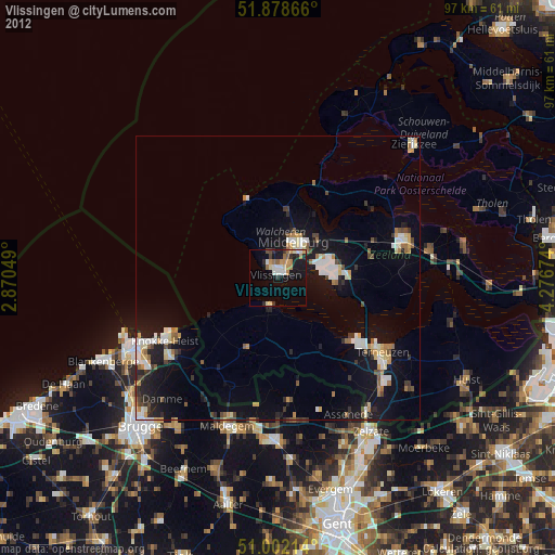
» Earth at Night: Flat Maps 2012, 2016