Terneuzen night lights from space
Night Light of Terneuzen (Zeeland) from space (Netherlands) Src. Average luminocity for 10x10km area is 30.6905% and for 50x50km: 18.0394%.
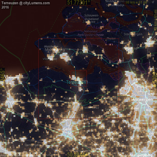
Analysis of Terneuzen night lights 2016
Square area 10x10 km:
 7%
7%90-99
6.3%80-89
3.5%70-79
2.52%60-69
1.96%50-59
1.96%40-49
1.68%30-39
3.08%20-29
8.54%10-19
38.94%0-9
24.51%Square area 50x50 km:
1.81%90-99
2.47%80-89
1.72%70-79
2.07%60-69
2.6%50-59
2.54%40-49
3.39%30-39
3.41%20-29
5.86%10-19
17.08%0-9
57.04%Clear (daylight) street map image can be seen on geolist.org.
Map coordinates:
51° 46' 22.8" North, 3° 7' 28.7" East
51° 20' 9" North, 3° 49' 40" East
50° 53' 40" North, 4° 31' 51.2" East
Some cities around Terneuzen sort by population:
• Goes
19.2 km =11.9 mi,  12°
12°
• Borssele
11.7 km =7.3 mi,  326°
326°
• Assenede, BE
13.3 km =8.3 mi,  203°
203°
• Zelzate, BE
16.3 km =10.1 mi,  184°
184°
• Kapelle
19 km =11.8 mi,  28°
28°
• Axel
9.5 km =5.9 mi,  143°
143°
• Wachtebeke, BE
18.9 km =11.7 mi,  170°
170°
• Moerbeke, BE
19.3 km =12 mi,  158°
158°
2746420 (p: 27,930)
Sources (retrieved 2019-11-25):
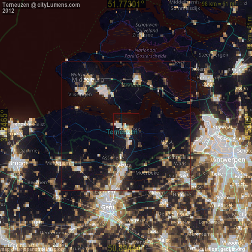
» Earth at Night: Flat Maps 2012, 2016