Borssele night lights from space
Night Light of Borssele (Zeeland) from space (Netherlands) Src. Average luminocity for 10x10km area is 25.3356% and for 50x50km: 10.2758%.
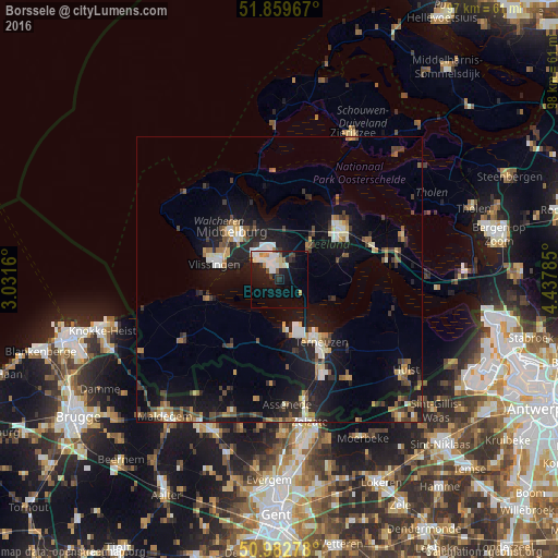
Analysis of Borssele night lights 2016
Square area 10x10 km:
 5.48%
5.48%90-99
6.68%80-89
2.27%70-79
2.14%60-69
1.2%50-59
1.74%40-49
1.2%30-39
2.54%20-29
4.55%10-19
22.73%0-9
49.47%Square area 50x50 km:
1.05%90-99
1.39%80-89
0.88%70-79
1.09%60-69
1.38%50-59
1.38%40-49
1.65%30-39
1.69%20-29
2.7%10-19
10.87%0-9
75.92%Clear (daylight) street map image can be seen on geolist.org.
Map coordinates:
51° 51' 34.8" North, 3° 1' 53.8" East
51° 25' 24" North, 3° 44' 5" East
50° 58' 58" North, 4° 26' 16.3" East
Some cities around Borssele sort by population:
• Middelburg
11.9 km =7.4 mi,  315°
315°
• Vlissingen
11.4 km =7.1 mi,  280°
280°
• Goes
14 km =8.7 mi,  49°
49°
• Terneuzen
11.7 km =7.3 mi,  146°
146°
• Kapelle
17 km =10.6 mi,  65°
65°
• Axel
21.2 km =13.2 mi, 145°
• Dauwendaele
10.8 km =6.7 mi, 315°
• Arnemuiden
9.6 km =6 mi,  334°
334°
2758587 (p: 22,285)
Sources (retrieved 2019-11-25):
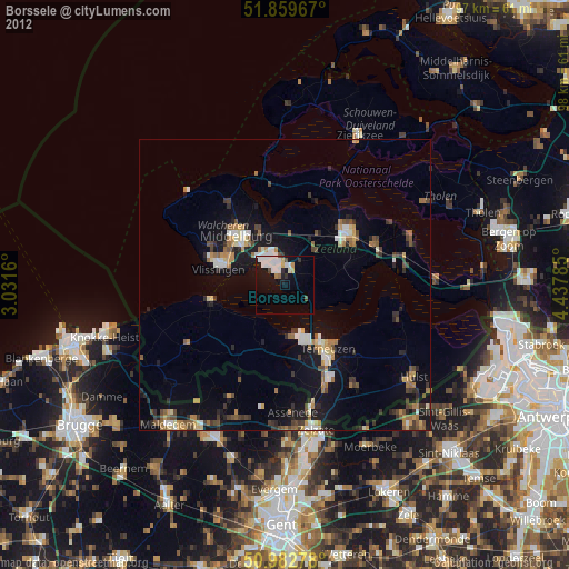
» Earth at Night: Flat Maps 2012, 2016