Dauwendaele night lights from space
Night Light of Dauwendaele (Zeeland) from space (Netherlands) Src. Average luminocity for 10x10km area is 36.9118% and for 50x50km: 7.3434%.
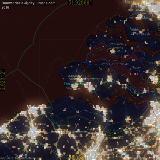
Analysis of Dauwendaele night lights 2016
Square area 10x10 km:
 5.75%
5.75%90-99
8.42%80-89
3.48%70-79
4.14%60-69
5.08%50-59
4.55%40-49
3.61%30-39
3.34%20-29
14.71%10-19
29.01%0-9
17.91%Square area 50x50 km:
1.05%90-99
1.18%80-89
0.71%70-79
0.71%60-69
0.8%50-59
0.86%40-49
0.63%30-39
0.93%20-29
2.11%10-19
7.65%0-9
83.38%Clear (daylight) street map image can be seen on geolist.org.
Map coordinates:
51° 55' 43.2" North, 2° 55' 23.2" East
51° 29' 34.8" North, 3° 37' 34.5" East
51° 3' 11.2" North, 4° 19' 45.7" East
Some cities around Dauwendaele sort by population:
• Middelburg
1.2 km =0.7 mi,  312°
312°
• Vlissingen
6.7 km =4.2 mi,  212°
212°
• Goes
18.2 km =11.3 mi,  86°
86°
• Terneuzen
22.4 km =13.9 mi,  141°
141°
• Borssele
10.8 km =6.7 mi, 135°
• Zierikzee
26.7 km =16.6 mi,  49°
49°
• Kapelle
23 km =14.3 mi, 91°
• Arnemuiden
3.5 km =2.2 mi,  74°
74°
2757823 (p: 6,220)
Sources (retrieved 2019-11-25):
» Earth at Night: Flat Maps 2012, 2016