Knokke-Heist night lights from space
Night Light of Knokke-Heist (Flanders) from space (Belgium) Src. Average luminocity for 10x10km area is 46.381% and for 50x50km: 16.2326%.
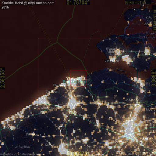
Analysis of Knokke-Heist night lights 2016
Square area 10x10 km:
 13.31%
90-99
11.06%80-89
4.48%70-79
4.76%60-69
2.8%50-59
3.36%40-49
1.96%30-39
4.62%20-29
18.49%10-19
23.81%0-9
11.34%Square area 50x50 km:
2.52%90-99
2.93%80-89
1.53%70-79
1.62%60-69
1.79%50-59
2.07%40-49
2.19%30-39
2.53%20-29
5.6%10-19
14.82%0-9
62.4%Clear (daylight) street map image can be seen on geolist.org.
Map coordinates:
51° 47' 13.3" North, 2° 33' 48.8" East
51° 21' 0" North, 3° 16' 0" East
50° 54' 31.5" North, 3° 58' 11.3" East
Some cities around Knokke-Heist sort by population:
• Brugge
16 km =9.9 mi,  190°
190°
• Maldegem
20.1 km =12.5 mi,  141°
141°
• Oostkamp
21.9 km =13.6 mi, 186°
• Blankenberge
10.2 km =6.3 mi,  246°
246°
• Sint-Kruis
15.2 km =9.4 mi,  184°
184°
• De Haan
18.3 km =11.4 mi,  241°
241°
• Damme
11 km =6.8 mi,  174°
174°
• Sint-Laureins
21.6 km =13.4 mi,  123°
123°
2794210 (p: 33,781)
Sources (retrieved 2019-11-25):
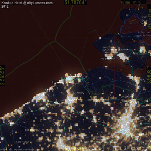
» Earth at Night: Flat Maps 2012, 2016