Utrecht night lights from space
Night Light of Utrecht from space (Netherlands) Src. Average luminocity for 10x10km area is 79.2474% and for 50x50km: 27.3529%.
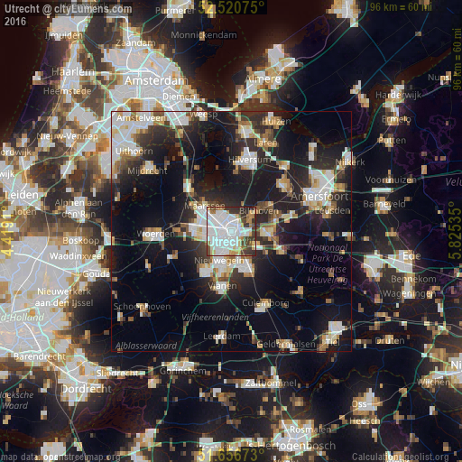
Analysis of Utrecht night lights 2016
Square area 10x10 km:
 39.95%
90-99
17.72%80-89
5.29%70-79
6.08%60-69
5.16%50-59
2.38%40-49
7.67%30-39
9.92%20-29
5.82%10-19
0%0-9
0%Square area 50x50 km:
5.76%90-99
5.45%80-89
2.51%70-79
2.49%60-69
2.77%50-59
2.56%40-49
2.95%30-39
3.79%20-29
8.78%10-19
19.48%0-9
43.46%Clear (daylight) street map image can be seen on geolist.org.
Map coordinates:
52° 31' 14.7" North, 4° 25' 8.8" East
52° 5' 27" North, 5° 7' 20" East
51° 39' 24.2" North, 5° 49' 31.3" East
Some cities around Utrecht sort by population:
• Nieuwegein
7.4 km =4.6 mi,  202°
202°
• Zeist
7.6 km =4.7 mi,  90°
90°
• Maarssen
7.7 km =4.8 mi,  314°
314°
• Lunetten
3.3 km =2.1 mi,  165°
165°
• Veldhuizen
7.7 km =4.8 mi,  257°
257°
• De Bilt
4.5 km =2.8 mi,  61°
61°
• Vleuten
7.5 km =4.7 mi,  282°
282°
• Bunnik
5.9 km =3.7 mi,  117°
117°
2745912 (p: 290,529)
Sources (retrieved 2019-11-25):
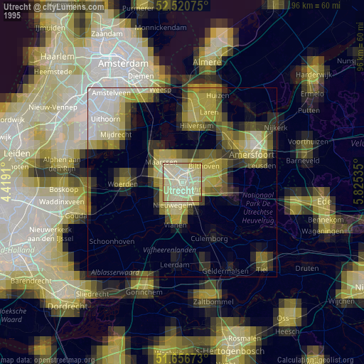
» NASA, Earths city lights 1995
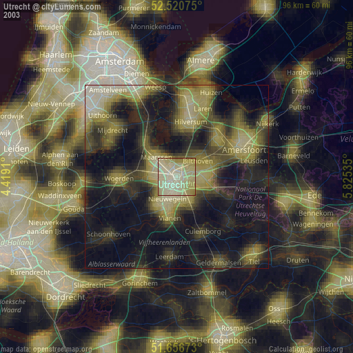
» NASA city lights 2003
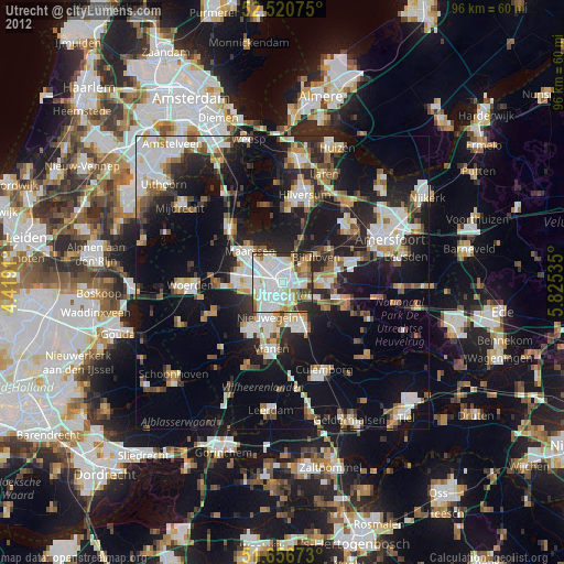
» Earth at Night: Flat Maps 2012, 2016