Nieuwegein night lights from space
Night Light of Nieuwegein (Utrecht) from space (Netherlands) Src. Average luminocity for 10x10km area is 62.4508% and for 50x50km: 25.9525%.
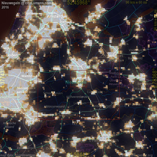

Analysis of Nieuwegein night lights 2016
Square area 10x10 km:
 19.32%
90-99
16.67%80-89
7.07%70-79
5.18%60-69
5.05%50-59
3.79%40-49
7.07%30-39
11.24%20-29
13.64%10-19
8.96%0-9
2.02%Square area 50x50 km:
5.12%90-99
5.04%80-89
2.45%70-79
2.25%60-69
2.48%50-59
2.55%40-49
3.11%30-39
3.26%20-29
8.11%10-19
21.31%0-9
44.32%Clear (daylight) street map image can be seen on geolist.org.
Map coordinates:
52° 27' 34.8" North, 4° 22' 38.7" East
52° 1' 45" North, 5° 4' 50" East
51° 35' 40.1" North, 5° 47' 1.2" East
Some cities around Nieuwegein sort by population:
• Utrecht
7.4 km =4.6 mi,  22°
22°
• IJsselstein
2.8 km =1.7 mi,  248°
248°
• Vianen
4.1 km =2.5 mi,  169°
169°
• Lunetten
5.2 km =3.2 mi,  45°
45°
• Veldhuizen
6.9 km =4.3 mi,  317°
317°
• Vleuten
9.6 km =6 mi,  332°
332°
• Bunnik
9.1 km =5.7 mi,  62°
62°
• Montfoort
8.9 km =5.5 mi,  281°
281°
2750325 (p: 61,489)
Sources (retrieved 2019-11-25):
» NASA, Earths city lights 1995
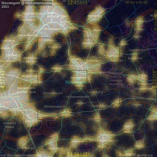
» NASA city lights 2003
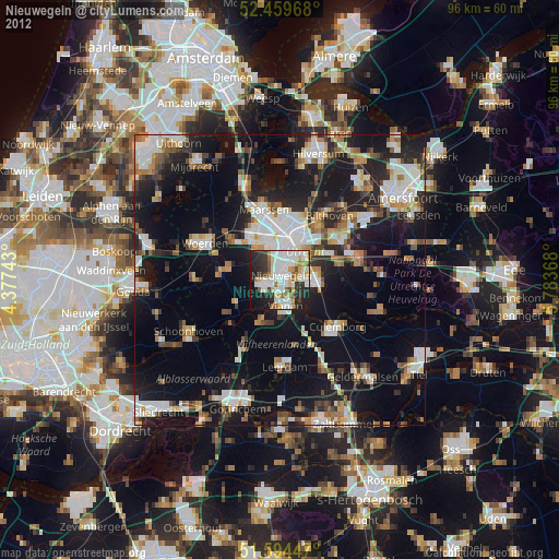
» Earth at Night: Flat Maps 2012, 2016