Wachtebeke night lights from space
Night Light of Wachtebeke (Flanders) from space (Belgium) Src. Average luminocity for 10x10km area is 35.4291% and for 50x50km: 35.1648%.
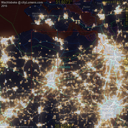
Analysis of Wachtebeke night lights 2016
Square area 10x10 km:
 3.74%
3.74%90-99
5.35%80-89
3.48%70-79
5.88%60-69
4.95%50-59
4.41%40-49
6.95%30-39
10.83%20-29
7.75%10-19
26.87%0-9
19.79%Square area 50x50 km:
4.56%90-99
5.47%80-89
3.65%70-79
4.04%60-69
5.79%50-59
6.17%40-49
8.93%30-39
8.31%20-29
11.58%10-19
12.88%0-9
28.61%Clear (daylight) street map image can be seen on geolist.org.
Map coordinates:
51° 36' 26.3" North, 3° 10' 7.3" East
51° 10' 6.7" North, 3° 52' 18.6" East
50° 43' 31.9" North, 4° 34' 29.8" East
Some cities around Wachtebeke sort by population:
• Lokeren
11.1 km =6.9 mi,  130°
130°
• Evergem
12.9 km =8 mi,  241°
241°
• Lochristi
8.5 km =5.3 mi,  199°
199°
• Stekene
12.4 km =7.7 mi,  68°
68°
• Assenede
10.6 km =6.6 mi,  307°
307°
• Zelzate
5 km =3.1 mi,  297°
297°
• Axel, NL
11.2 km =7 mi,  13°
13°
• Moerbeke
4.1 km =2.5 mi,  81°
81°
2784227 (p: 6,911)
Sources (retrieved 2019-11-25):
» Earth at Night: Flat Maps 2012, 2016