Spijkenisse night lights from space
Night Light of Spijkenisse (South Holland) from space (Netherlands) Src. Average luminocity for 10x10km area is 64.542% and for 50x50km: 44.8872%.
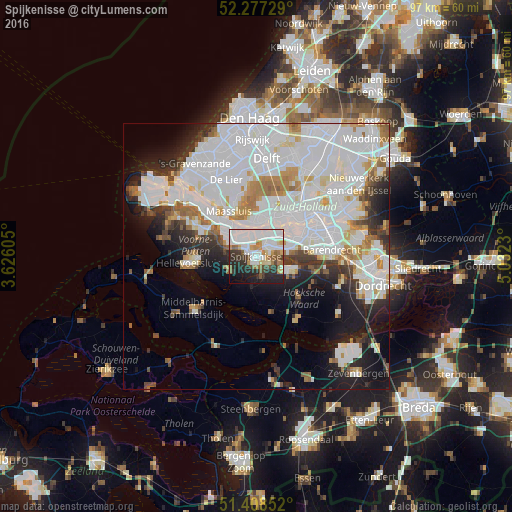
Analysis of Spijkenisse night lights 2016
Square area 10x10 km:
 24.79%
90-99
15.83%80-89
3.92%70-79
6.02%60-69
5.88%50-59
5.74%40-49
3.78%30-39
7.84%20-29
15.69%10-19
8.96%0-9
1.54%Square area 50x50 km:
19.83%90-99
11.62%80-89
2.85%70-79
2.97%60-69
3.65%50-59
2.26%40-49
2.12%30-39
3.6%20-29
5.37%10-19
9.35%0-9
36.39%Clear (daylight) street map image can be seen on geolist.org.
Map coordinates:
52° 16' 38.2" North, 3° 37' 33.8" East
51° 50' 42" North, 4° 19' 45" East
51° 24' 30.7" North, 5° 1' 56.3" East
Some cities around Spijkenisse sort by population:
• Schiedam
9.2 km =5.7 mi,  26°
26°
• Vlaardingen
7.6 km =4.7 mi,  6°
6°
• Maassluis
10.3 km =6.4 mi,  328°
328°
• Oud-Beijerland
6.2 km =3.9 mi,  112°
112°
• Rhoon
6.5 km =4 mi,  77°
77°
• Rozenburg
8.6 km =5.3 mi,  319°
319°
• Pendrecht
10 km =6.2 mi,  72°
72°
• Spangen
10.8 km =6.7 mi,  42°
42°
2746932 (p: 74,988)
Sources (retrieved 2019-11-25):
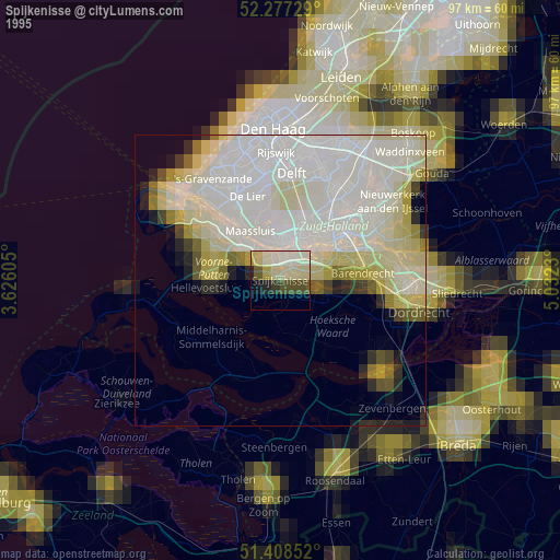
» NASA, Earths city lights 1995
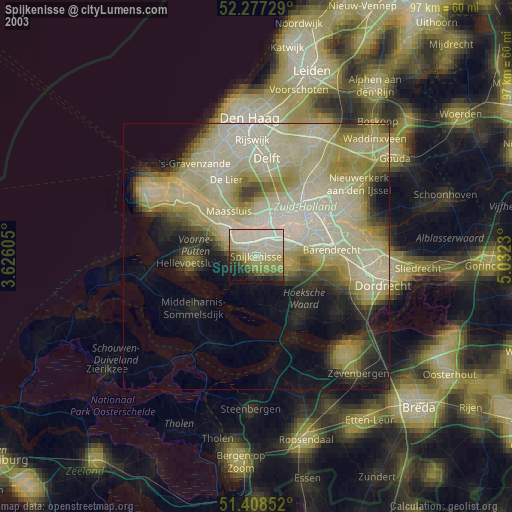
» NASA city lights 2003
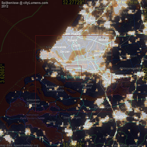
» Earth at Night: Flat Maps 2012, 2016