Oud-Beijerland night lights from space
Night Light of Oud-Beijerland (South Holland) from space (Netherlands) Src. Average luminocity for 10x10km area is 47.8375% and for 50x50km: 44.1123%.
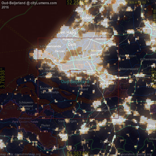
Analysis of Oud-Beijerland night lights 2016
Square area 10x10 km:
 10.08%
90-99
8.96%80-89
5.18%70-79
3.78%60-69
7.56%50-59
6.02%40-49
8.68%30-39
10.64%20-29
10.64%10-19
24.51%0-9
3.92%Square area 50x50 km:
18.36%90-99
11.45%80-89
2.91%70-79
3.05%60-69
3.53%50-59
2.26%40-49
2.14%30-39
3.81%20-29
6.27%10-19
12.21%0-9
34%Clear (daylight) street map image can be seen on geolist.org.
Map coordinates:
52° 15' 24" North, 3° 42' 33.8" East
51° 49' 27" North, 4° 24' 45" East
51° 23' 15" North, 5° 6' 56.3" East
Some cities around Oud-Beijerland sort by population:
• Spijkenisse
6.2 km =3.9 mi,  292°
292°
• Barendrecht
9.1 km =5.7 mi,  66°
66°
• Rhoon
3.8 km =2.4 mi,  10°
10°
• Lombardijen
9.3 km =5.8 mi,  53°
53°
• Zuidwijk
7.6 km =4.7 mi,  41°
41°
• Pendrecht
6.5 km =4 mi, 36°
• Carnisse
8.5 km =5.3 mi,  31°
31°
• Delfshaven
9.4 km =5.8 mi,  17°
17°
2749182 (p: 23,569)
Sources (retrieved 2019-11-25):
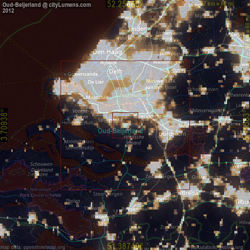
» Earth at Night: Flat Maps 2012, 2016