Bavel night lights from space
Night Light of Bavel (North Brabant) from space (Netherlands) Src. Average luminocity for 10x10km area is 37.7981% and for 50x50km: 23.4439%.
Analysis of Bavel night lights 2016
Square area 10x10 km:
 10.43%
90-99
8.16%80-89
1.6%70-79
3.34%60-69
2.14%50-59
1.74%40-49
6.42%30-39
6.28%20-29
14.84%10-19
25.94%0-9
19.12%Square area 50x50 km:
3.57%90-99
4.15%80-89
1.97%70-79
1.93%60-69
2.12%50-59
2.49%40-49
2.55%30-39
3.91%20-29
9.79%10-19
27.69%0-9
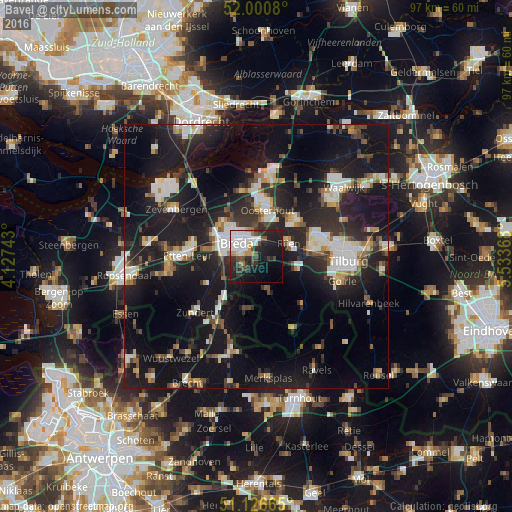
39.84%Clear (daylight) street map image can be seen on geolist.org.
Map coordinates:
52° 0' 2.9" North, 4° 7' 38.7" East
51° 33' 57" North, 4° 49' 50" East
51° 7' 35.9" North, 5° 32' 1.2" East
Some cities around Bavel sort by population:
• Breda
4.4 km =2.7 mi,  301°
301°
• Rijen
6.7 km =4.2 mi,  65°
65°
• Hoge Vucht
5.4 km =3.4 mi,  330°
330°
• Princenhage
6.4 km =4 mi,  280°
280°
• Teteringen
4.9 km =3 mi,  352°
352°
• Ginneken
2.6 km =1.6 mi,  270°
270°
• Zandberg
3.3 km =2.1 mi, 284°
• Heusdenhout
2.6 km =1.6 mi,  342°
342°
2759373 (p: 5,360)
Sources (retrieved 2019-11-25):
» Earth at Night: Flat Maps 2012, 2016