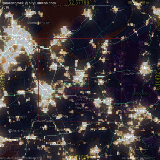
Randenbroek night lights from space
Night Light of Randenbroek (Utrecht) from space (Netherlands) Src. Average luminocity for 10x10km area is 51.9061% and for 50x50km: 25.979%.
Analysis of Randenbroek night lights 2016
Square area 10x10 km:
 12.17%
90-99
12.57%80-89
5.69%70-79
6.22%60-69
6.75%50-59
3.57%40-49
2.12%30-39
6.48%20-29
23.54%10-19
18.92%0-9
1.98%Square area 50x50 km:
4.93%90-99
5.03%80-89
2.34%70-79
2.68%60-69
2.8%50-59
2.17%40-49
2.73%30-39
3.14%20-29
9.44%10-19
22.67%0-9
42.08%Clear (daylight) street map image can be seen on geolist.org.
Map coordinates:
52° 34' 40.8" North, 4° 41' 53.1" East
52° 8' 55.1" North, 5° 24' 4.3" East
51° 42' 54.3" North, 6° 6' 15.6" East
Some cities around Randenbroek sort by population:
• Amersfoort
1.2 km =0.7 mi,  307°
307°
• Soest
8 km =5 mi,  290°
290°
• Nijkerk
9.8 km =6.1 mi,  36°
36°
• Leusden
2.8 km =1.7 mi,  130°
130°
• Woudenberg
7.6 km =4.7 mi,  172°
172°
• Hoogland
4.2 km =2.6 mi,  333°
333°
• Scherpenzeel
9.7 km =6 mi,  141°
141°
• Doornsteeg
9.7 km =6 mi,  21°
21°
6950811 (p: 7,131)
Sources (retrieved 2019-11-25):
» Earth at Night: Flat Maps 2012, 2016