Putten night lights from space
Night Light of Putten (Gelderland) from space (Netherlands) Src. Average luminocity for 10x10km area is 14.0172% and for 50x50km: 14.4854%.
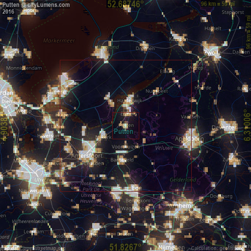
Analysis of Putten night lights 2016
Square area 10x10 km:
 0%
0%90-99
1.32%80-89
1.32%70-79
1.98%60-69
3.04%50-59
1.59%40-49
2.65%30-39
0.26%20-29
1.85%10-19
17.33%0-9
68.65%Square area 50x50 km:
1.96%90-99
2.67%80-89
1.59%70-79
1.79%60-69
1.49%50-59
1.31%40-49
1.4%30-39
1.24%20-29
4.94%10-19
14.41%0-9
67.21%Clear (daylight) street map image can be seen on geolist.org.
Map coordinates:
52° 41' 14.9" North, 4° 54' 13.7" East
52° 15' 33" North, 5° 36' 25" East
51° 49' 36.1" North, 6° 18' 36.2" East
Some cities around Putten sort by population:
• Harderwijk
9.2 km =5.7 mi,  5°
5°
• Nijkerk
9.3 km =5.8 mi,  242°
242°
• Barneveld
13.3 km =8.3 mi,  186°
186°
• Zeewolde
9 km =5.6 mi,  330°
330°
• Hoogland
18 km =11.2 mi, 241°
• Ermelo
4.5 km =2.8 mi, 13°
• Voorthuizen
8.1 km =5 mi,  180°
180°
• Doornsteeg
10.9 km =6.8 mi,  252°
252°
2748392 (p: 23,168)
Sources (retrieved 2019-11-25):
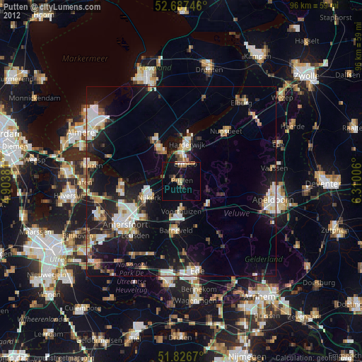
» Earth at Night: Flat Maps 2012, 2016