Zeewolde night lights from space
Night Light of Zeewolde (Flevoland) from space (Netherlands) Src. Average luminocity for 10x10km area is 19.6894% and for 50x50km: 15.3718%.
Analysis of Zeewolde night lights 2016
Square area 10x10 km:
 2.02%
2.02%90-99
3.28%80-89
2.27%70-79
3.41%60-69
1.77%50-59
1.77%40-49
2.53%30-39
0.63%20-29
2.27%10-19
24.49%0-9
55.56%Square area 50x50 km:
2.07%90-99
2.91%80-89
1.53%70-79
2.18%60-69
1.89%50-59
1.36%40-49
1.59%30-39
1.62%20-29
5.46%10-19
12.91%0-9
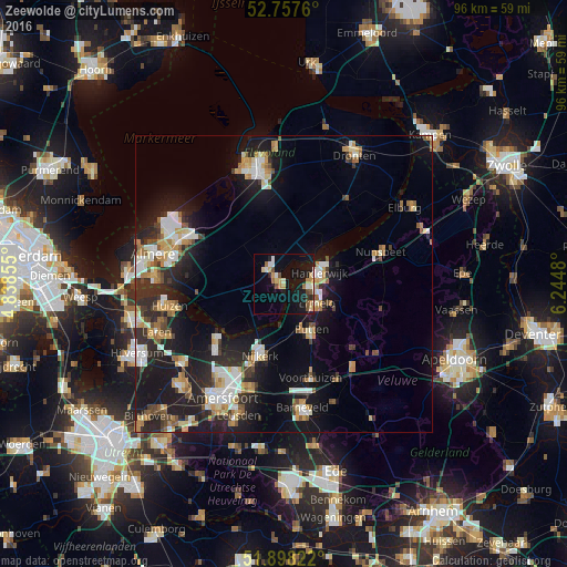
66.47%Clear (daylight) street map image can be seen on geolist.org.
Map coordinates:
52° 45' 27.4" North, 4° 50' 18.8" East
52° 19' 48" North, 5° 32' 30" East
51° 53' 53.6" North, 6° 14' 41.3" East
Some cities around Zeewolde sort by population:
• Harderwijk
5.5 km =3.4 mi,  76°
76°
• Nijkerk
12.8 km =8 mi,  197°
197°
• Putten
9 km =5.6 mi,  150°
150°
• Nunspeet
17.5 km =10.9 mi,  71°
71°
• Ermelo
6.5 km =4 mi,  122°
122°
• Voorthuizen
16.5 km =10.3 mi,  164°
164°
• Doornsteeg
12.6 km =7.8 mi,  208°
208°
• Biddinghuizen
17.3 km =10.7 mi,  36°
36°
2743997 (p: 19,022)
Sources (retrieved 2019-11-25):
» Earth at Night: Flat Maps 2012, 2016