Meppel night lights from space
Night Light of Meppel (Drenthe) from space (Netherlands) Src. Average luminocity for 10x10km area is 12.7593% and for 50x50km: 6.816%.
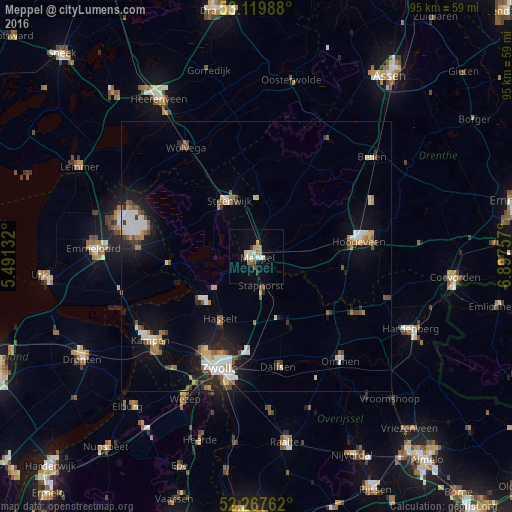
Analysis of Meppel night lights 2016
Square area 10x10 km:
 1.32%
1.32%90-99
2.38%80-89
1.85%70-79
1.85%60-69
1.46%50-59
1.19%40-49
1.19%30-39
0.93%20-29
0%10-19
5.69%0-9
82.14%Square area 50x50 km:
1.05%90-99
1.23%80-89
0.55%70-79
0.76%60-69
0.73%50-59
1.02%40-49
0.71%30-39
0.61%20-29
1.24%10-19
4.78%0-9
87.33%Clear (daylight) street map image can be seen on geolist.org.
Map coordinates:
53° 7' 11.6" North, 5° 29' 28.8" East
52° 41' 45" North, 6° 11' 40" East
52° 16' 3.4" North, 6° 53' 51.3" East
Some cities around Meppel sort by population:
• Zwolle
21.5 km =13.4 mi,  198°
198°
• Hoogeveen
19.2 km =11.9 mi,  81°
81°
• Dalfsen
20.9 km =13 mi,  168°
168°
• Steenwijk
11.3 km =7 mi,  334°
334°
• Staphorst
5.8 km =3.6 mi, 168°
• Hasselt
13.3 km =8.3 mi,  210°
210°
• Frankhuis
20.8 km =12.9 mi, 204°
• Krakeel
21.6 km =13.4 mi, 81°
2750947 (p: 30,697)
Sources (retrieved 2019-11-25):
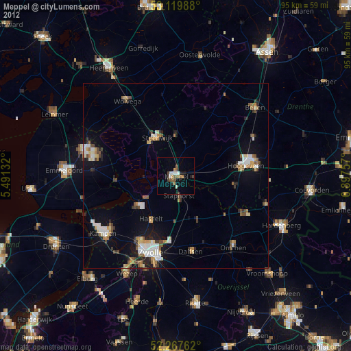
» Earth at Night: Flat Maps 2012, 2016