Breda night lights from space
Night Light of Breda (North Brabant) from space (Netherlands) Src. Average luminocity for 10x10km area is 62.5027% and for 50x50km: 24.1906%.
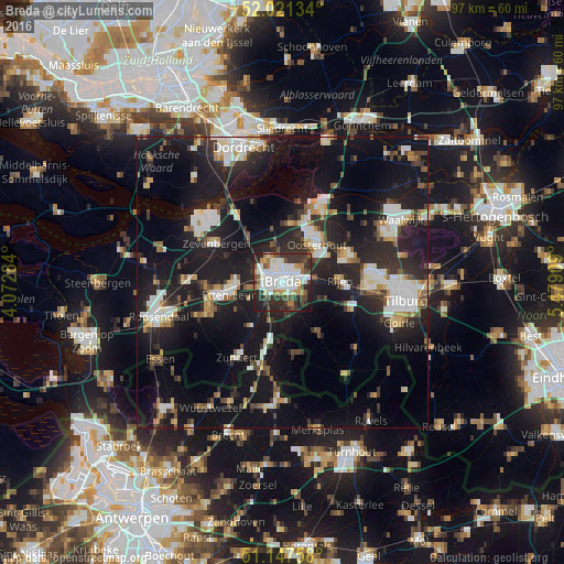
Analysis of Breda night lights 2016
Square area 10x10 km:
 18.85%
90-99
17.51%80-89
3.74%70-79
5.48%60-69
5.35%50-59
3.61%40-49
9.49%30-39
15.24%20-29
15.91%10-19
4.81%0-9
0%Square area 50x50 km:
4.11%90-99
4.53%80-89
2.03%70-79
1.83%60-69
2.1%50-59
2.37%40-49
2.57%30-39
4.04%20-29
9.85%10-19
26.11%0-9
40.47%Clear (daylight) street map image can be seen on geolist.org.
Map coordinates:
52° 1' 16.8" North, 4° 4' 22.2" East
51° 35' 11.6" North, 4° 46' 33.5" East
51° 8' 51.3" North, 5° 28' 44.7" East
Some cities around Breda sort by population:
• Hoge Vucht
2.6 km =1.6 mi,  24°
24°
• Prinsenbeek
4.6 km =2.9 mi,  286°
286°
• Princenhage
2.8 km =1.7 mi,  245°
245°
• Teteringen
4 km =2.5 mi,  50°
50°
• Ginneken
2.6 km =1.6 mi,  152°
152°
• Bavel
4.4 km =2.7 mi,  121°
121°
• Zandberg
1.6 km =1 mi,  157°
157°
• Heusdenhout
3 km =1.9 mi,  86°
86°
2758401 (p: 167,673)
Sources (retrieved 2019-11-25):
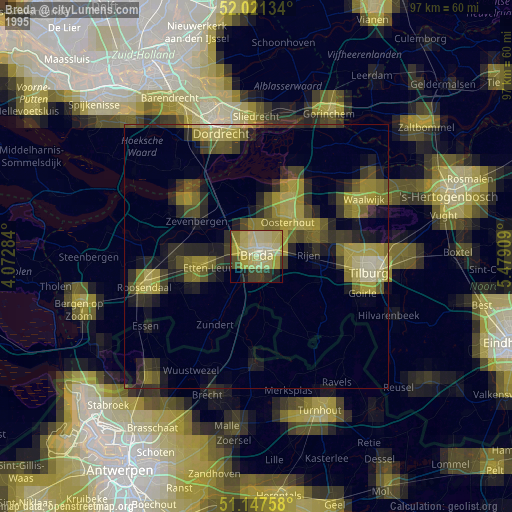
» NASA, Earths city lights 1995
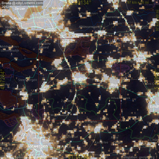
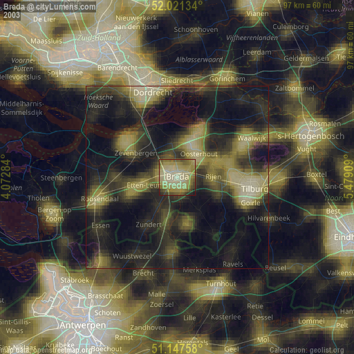
» NASA city lights 2003
» Earth at Night: Flat Maps 2012, 2016