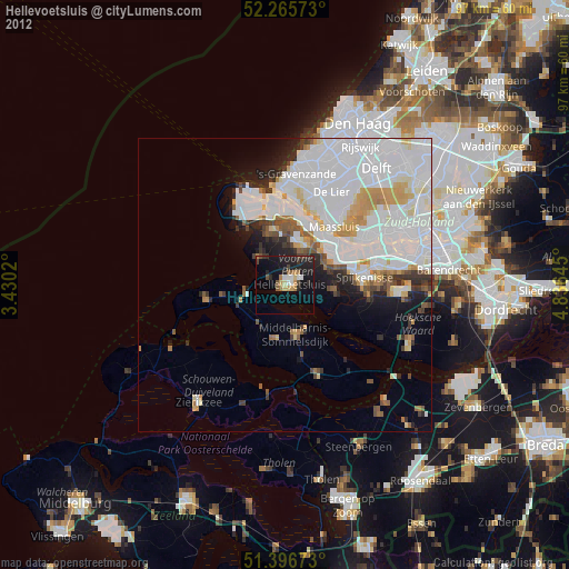
Hellevoetsluis night lights from space
Night Light of Hellevoetsluis (South Holland) from space (Netherlands) Src. Average luminocity for 10x10km area is 20.3627% and for 50x50km: 28.0084%.
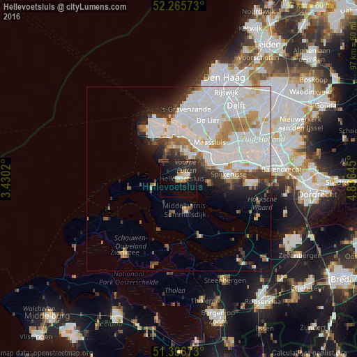
Analysis of Hellevoetsluis night lights 2016
Square area 10x10 km:
 1.54%
1.54%90-99
2.24%80-89
1.82%70-79
0.84%60-69
4.76%50-59
0.84%40-49
2.52%30-39
3.5%20-29
13.45%10-19
23.81%0-9
44.68%Square area 50x50 km:
12.76%90-99
6.65%80-89
1.38%70-79
1.98%60-69
2.6%50-59
1.69%40-49
1.42%30-39
2.21%20-29
3.36%10-19
4.54%0-9
61.39%Clear (daylight) street map image can be seen on geolist.org.
Map coordinates:
52° 15' 56.6" North, 3° 25' 48.7" East
51° 49' 60" North, 4° 7' 60" East
51° 23' 48.2" North, 4° 50' 11.2" East
Some cities around Hellevoetsluis sort by population:
• Spijkenisse
13.5 km =8.4 mi,  84°
84°
• Vlaardingen
16.8 km =10.4 mi,  58°
58°
• Maassluis
12.8 km =8 mi,  38°
38°
• Middelharnis
8.7 km =5.4 mi,  165°
165°
• Rozenburg
11.2 km =7 mi,  45°
45°
• Goedereede
10.6 km =6.6 mi,  260°
260°
• Hoek van Holland
16 km =9.9 mi,  0°
0°
• Ouddorp
13.9 km =8.6 mi, 259°
2754454 (p: 21,927)
Sources (retrieved 2019-11-25):
» Earth at Night: Flat Maps 2012, 2016